Newly released police data has laid bare the areas of Birmingham most blighted by violent and sexual crime over the past year, with the city centre recording a staggering average of 12 offences every single day.
City Centre Leads with Disturbing Figures
The latest statistics from the West Midlands Police, published on police.uk, provide a stark neighbourhood-by-neighbourhood breakdown for the 12 months between October 2024 and September 2025. Birmingham city centre, the area with the largest footfall, recorded the highest number of incidents, with a total of 4,694 violence and sexual offences reported.
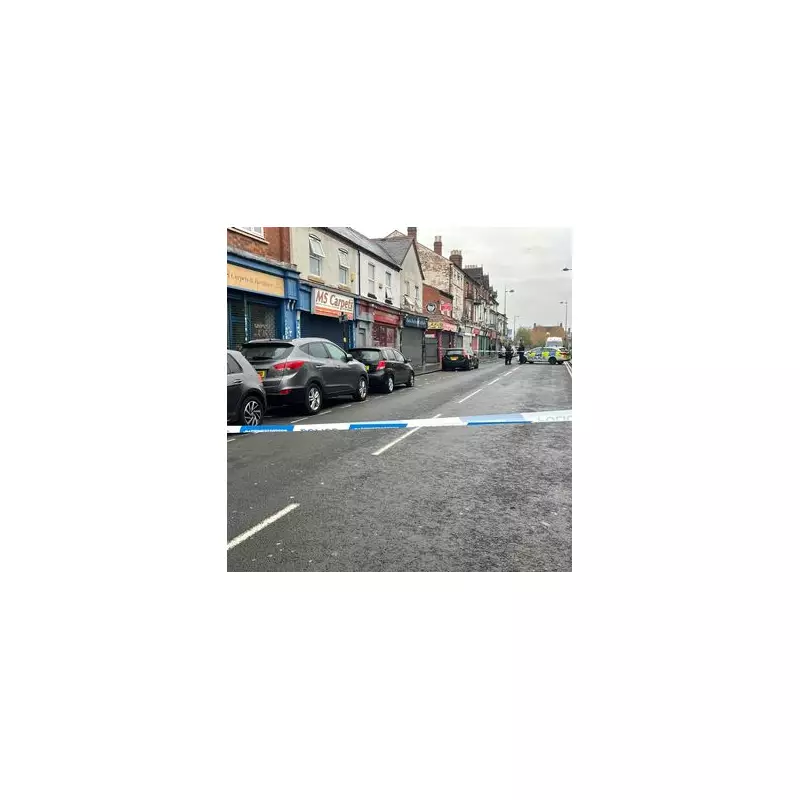
This central zone has been the scene of several high-profile stabbings in recent months, casting a shadow over the area. These include the tragic killing of Katie Fox on Smallbrook Queensway in early November. Several separate incidents in October and November also saw teenagers stabbed near the Bullring shopping centre.

Other High-Risk Neighbourhoods Identified
While the city centre's figures are alarmingly high, other districts also show concerning levels of crime. Lozells and East Handsworth recorded the second-worst rate, with 2,314 violent and sexual offences across the same period. In November, a man in his 20s was fatally stabbed on Hutton Road in Lozells, with members of the public rushing to help before he died at the scene.
Aston was the only other area to surpass 2,000 reported crimes, with 2,284 incidents. This area was also shaken by a stabbing on the Aston University campus in November, where a teenager suffered life-changing injuries following a football game in the Aston Triangle.
Full Area-by-Area Breakdown
The police data ranks every part of the city. At the other end of the scale, smaller, less populated areas like the NEC and Birmingham Airport reported the lowest figures, with 118 and 87 offences respectively.
Here is the full list of areas with their corresponding figures for violence and sexual offences:
- Acocks Green: 1,922
- Aston: 2,284
- Bartley Green: 1,310
- Billesley: 1,174
- Birmingham Airport: 87
- Bordesley Green: 1,771
- Bournville: 947
- Chelmsley Wood: 817
- City centre: 4,694
- Edgbaston: 1,337
- Erdington: 1,299
- Hall Green: 784
- Handsworth Wood: 1,323
- Harborne: 1,067
- Hodge Hill: 1,546
- Jewellery Quarter: 537
- Kings Norton: 1,227
- Kingstanding: 1,495
- Ladywood: 1,491
- Longbridge: 1,493
- Lozells and East Handsworth: 2,314
- Moseley and Kings Heath: 1,241
- NEC: 118
- Nechells: 775
- Northfield: 1,329
- Oscott: 987
- Perry Barr: 1,361
- Quinton: 1,050
- Selly Oak: 1,147
- Shard End: 1,758
- Sheldon: 1,050
- Small Heath and Highgate: 1,574
- Smith's Wood: 1,551
- Soho Road: 1,131
- South Yardley: 1,941
- Sparkbrook: 1,812
- Stechford and Yardley North: 1,443
- Stockland Green: 1,926
- Tyburn: 1,430
- Washwood Heath: 1,722
- Weoley: 1,184
- Winson Green: 1,294
The data offers a clear, if troubling, picture of crime distribution across England's second city, highlighting the ongoing challenges faced by communities and police.