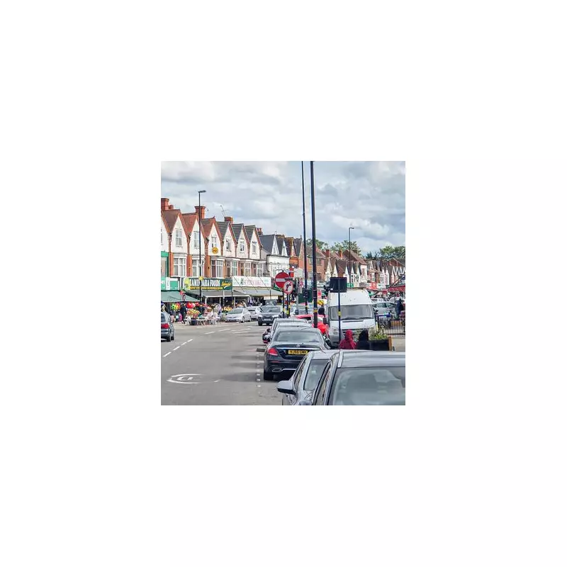
A stark new analysis has revealed that the six neighbourhoods with the lowest disposable income in England are all located within Birmingham, underscoring the city's position as one of the country's most deprived regions.
The Midlands Dominates Deprivation Rankings
The study, which ranked neighbourhoods based on the average disposable income residents have after tax, paints a sobering picture for the West Midlands. Sparkhill North was identified as the poorest area in the entire country, where households have an average of just under £20,800 per year to spend after tax.
It is closely followed by five other Birmingham districts: Sparkbrook South, Small Heath Park, Saltley East, Washwood Heath, and Bordesley Green. The data confirms Birmingham's status as a focal point for economic hardship in England.

A Widening National Divide
The report also highlights a disturbing and growing chasm between the nation's richest and poorest communities. At the very top of the scale, households in the Leamouth area of Tower Hamlets, London, enjoy an average disposable income of £107,600.
This means the highest-earning neighbourhood has almost £87,000 more to spend annually than those at the bottom in Sparkhill North. The regional disparity is further emphasised by the fact that just 1% of West Midlands households fall into the national top 10% for disposable income, compared to 45% of neighbourhoods in London.
Black Country Also Among Most Deprived
The deprivation is not confined to Birmingham alone. The list of England's most impoverished areas also includes parts of the Black Country, with Smethwick North and West, and Palfrey in Walsall named among the most deprived.
The figures for the other Birmingham areas on the list are similarly low: Small Heath Park averages £21,666, Saltley East £21,689, Washwood Heath £21,787, and Bordesley Green North £21,928.
This new data provides a clear and quantifiable snapshot of the severe income inequality affecting the Midlands and the country as a whole, raising urgent questions about regional investment and economic support.