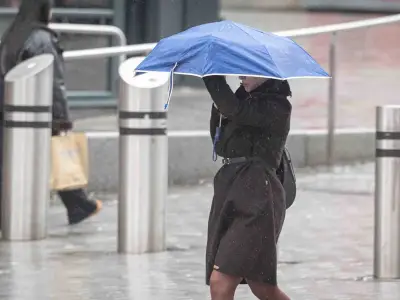
A massive 390-mile wall of rain is forecast to drench almost all of England by late July, according to weather maps from WXCharts, which uses MetDesk data. The downpour is expected on Sunday, July 26, stretching from Cumbria in the north west to Cornwall in the south west.
Areas Affected and Rainfall Intensity
Only a handful of areas may escape the wet weather, including Norfolk, Suffolk, Essex, and Hampshire. The south west of England, particularly Cornwall and Devon, is likely to see the worst conditions as the rain moves eastward. Data suggests up to 7.5mm per hour of rain could fall by midday, as reported by the Mirror. Parts of south Wales, Cumbria, Durham, and Northumberland may also experience heavy showers.
Met Office Long-Range Forecast
The Met Office has warned of 'changeable weather' in its long forecast for July 26 to August 9. It predicts longer spells of rain, possibly heavy and thundery, along with some drier and brighter interludes, especially in the south and southeast. Temperatures are expected to be above normal, with some hot spells possible.

This comes as the UK is currently experiencing a heatwave, but the scorching weather may soon give way to downpours. The Met Office statement reads: 'Changeable weather patterns are expected during this period. Showers or some longer spells of rain are likely at times, perhaps heavy and thundery. Some drier and brighter interludes are also possible, especially in the south and southeast. Temperatures are likely to be above normal with some hot spells possible.'