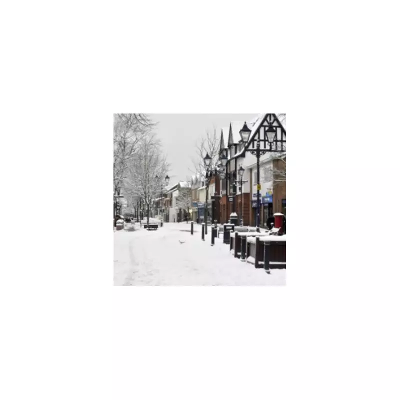
The United Kingdom is preparing for a significant wintry spell, with forecasters predicting five consecutive days of snowfall as temperatures take a sharp dive towards the New Year. Advanced meteorological data points to a dramatic shift from the festive period into early 2026.
Snow Arrival Date and Initial Impact Zones
According to modelling from Met Desk, which supplies information to WX Charts, the first snowflakes are scheduled to arrive as the country rings in the New Year. The initial flurries are expected on New Year's Eve, December 31.
The early snowfall will primarily affect the east coast of Scotland before moving into parts of England. Regions on alert include the North East and South East of England, with counties such as Norfolk and Suffolk identified as potential hotspots. Significant areas across the North of England are also at risk of seeing the white stuff settle.
Prolonged Cold Snap and Deepening Accumulations
The wintry conditions are forecast to persist and intensify in the first week of January. Maps for January 2 indicate snow settling across eastern England and Scotland. The threat is likely to continue into January 3, with Lancashire potentially seeing activity, while temperatures in Scotland could plunge to a bitter -14°C.
By January 4, projections suggest snow accumulations will become more substantial, with a widespread blanket of white, grey, and blue hues covering weather charts for almost the entire nation. This indicates a potentially disruptive level of snowfall becoming established.
Expert Analysis and the Broader Forecast
Commenting on the patterns, Ian Simpson from Netweather TV noted that early January presents the main "window of opportunity" for cold air outbreaks. He cautioned, however, that recent winters have often deviated from traditional patterns, possibly due to the broader context of a warmer climate, making this season's progression uncertain.
The Met Office's broader outlook for the period suggests high pressure may be positioned near the UK initially, potentially bringing settled conditions with risks of frost and fog. They warn, however, of occasional wet weather and wintry hazards given the presence of relatively cold air. Confidence in the forecast for mid-January remains low, indicating a possibility of more changeable conditions developing.
This impending cold spell signals a stark and frosty start to the new year, with residents across Scotland and England advised to stay updated on the latest forecasts and prepare for potential travel disruption and icy conditions.


