
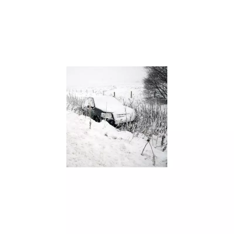
The United Kingdom is on alert for a significant snowfall event, with forecasts predicting up to six inches of snow could blanket parts of the country within the next 72 hours. All four Home Nations are expected to be affected by the wintry blast.
Which Areas Are Set For The Heaviest Snowfall?
Maps and data from WX Charts, using Met Desk information, indicate the snow will arrive on Friday, 19 December. The projections suggest a potential accumulation of 5.9 inches (15 centimetres) in some regions. A total of 12 counties have been identified as the most likely to experience disruptive snowfall.
The areas highlighted for the most significant impact span the entire UK:

- Scotland: Highland, Argyll and Bute, Dumfries and Galloway.
- England: Cumbria, Lancashire, Greater Manchester, Merseyside, Cheshire.
- Wales: Gwynedd, Conwy, Powys.
- Northern Ireland: Antrim.
What Does The BBC Weather Forecast Say?
The BBC's longer-range forecast points to increased uncertainty for the period after Christmas and into the New Year. The broadcaster notes that high pressure is likely to remain near the UK, but its precise position will be critical in determining conditions.
"There are signs that it may shift and become centred between the UK and Iceland, at least for a while," the BBC states. "This should result in some relatively dry and calm periods. Seasonably colder conditions are most probable, with frost and fog still likely at times."
However, there remains a possibility that the high pressure could move further south or east later in the period. This shift would bring a return to milder, more unsettled weather across most areas, although forecasters have low confidence in this particular development at present.
Immediate Forecast and Looking Ahead
In the immediate term, the BBC's forecast for tonight indicates a dry start for the north-west, though rain will move in later alongside very windy conditions. The south-east will see rain initially, clearing to dry and clear spells with patchy fog. Elsewhere, it will be cold, dry, and clear.
The meteorological service has confirmed it will provide an update on Tuesday, analysing whether longer-range models have reached better agreement on the behaviour of high-pressure systems from late December into January. Residents across the identified counties are advised to monitor forecasts closely and prepare for potential travel disruption as Friday approaches.


