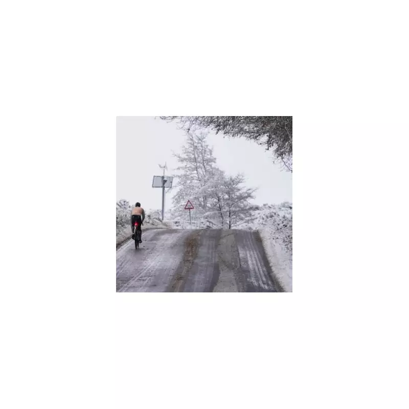
The United Kingdom is on alert for a significant winter weather event, with forecasters warning of a 'snow bomb' set to bring temperatures as low as -2C and disruptive blizzards as far south as Cornwall. The most severe conditions are expected to hit two counties in England hardest, with widespread snowfall predicted for the festive period.
Maps Show Snow Blanketing South West and Wales
Detailed weather projections from WX Charts, utilising advanced GFS modelling data, indicate substantial snow accumulations across the south west of England and parts of South Wales. The key timeframe highlighted is midday on Friday, December 27. Maps based on Met Desk data show the mercury plummeting to between 0C and -2C, creating ideal conditions for settling snow.
The visualisations pinpoint Devon and Cornwall as being in the direct path of the heaviest flurries, with coastal areas also at risk. This suggests a notably widespread and potent cold spell for regions unaccustomed to such severe winter weather.
Expert Forecasts Point to Prolonged Festive Freeze
Leading weather analysts are aligning in their predictions for a sharp turn to colder conditions around Christmas. James Madden from Exacta Weather states that the much-anticipated cold spell is "primed and ready to deliver" shortly after Christmas Day. He identifies December 27 to 29 as the current focal point for the most intense weather, noting the potential for snow showers in northern England and south of Scotland from Boxing Day.
Nick Finnis of Netweather TV adds context to the broader pattern, explaining that the UK's festive weather hinges on high pressure to the north and low pressure over the near continent. "We should look east for our weather for the festive period," he said, highlighting the potential to "tap into air cold enough for snow even on the big day." Ensemble data suggests these chilly conditions could persist right through to the New Year.
Short-Term Outlook: Rain Before the Freeze
Before the Arctic blast arrives, the UK must contend with further wet and unsettled conditions. For the remainder of the week, England and Wales are set for more rain, with yellow rain warnings potentially in force for southern and western areas on Thursday. A brief drier interlude is expected on Friday and Saturday for central and eastern regions, before showers return nationwide by Sunday.
Mr. Madden concluded with a stark summary, stating a "very notable cold period" is on the near horizon. This will feature biting easterly winds and snow showers that are expected to become more widespread, affecting "large parts or swathes of the country" in both the north and south.


