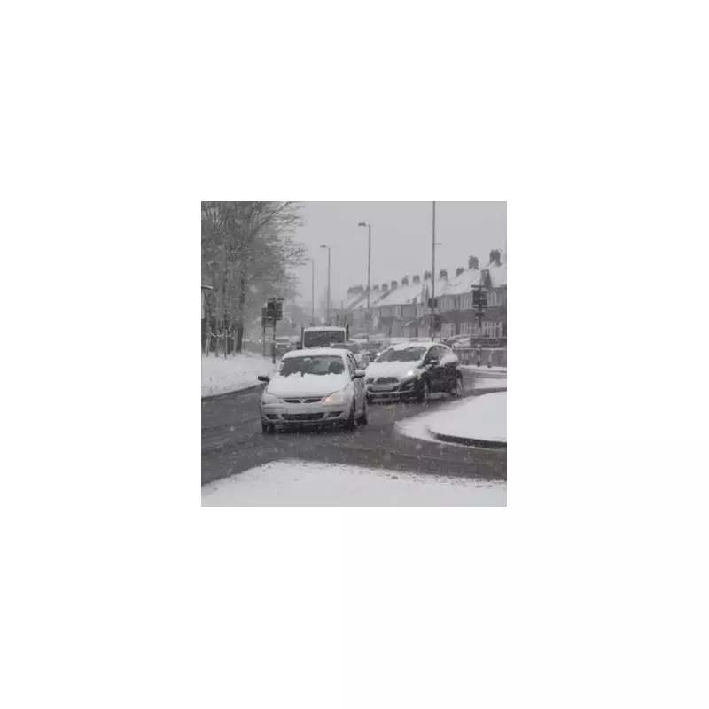
Britain is bracing for a significant winter weather event, with forecast maps indicating a substantial snowfall is set to hammer parts of England as the new year begins.
Data from WX Charts, projected on Monday, December 22, reveals that a snow event carrying up to 14 centimetres is poised to strike, with conditions intensifying markedly on January 1 - New Year's Day.
New Year's Day Snow Bomb: Regions and Timings
The meteorological models show the northern regions of England being blanketed in white, with the North East and the east coast, including East Anglia, expected to be hit hardest. In these areas, accumulations could reach the peak depth of 14cm.
The snowfall is forecast to begin from midday on January 1, with settling expected by 6pm. Accompanying the snow will be a severe temperature drop, with the mercury plunging beneath zero. At its coldest, temperatures could sink to around -5°C. While average snow depth is predicted to be between 2cm and 6cm, the mentioned 14cm is possible in localised spots.
Nationwide Freeze and Short-Term Outlook
The icy conditions will usher in the first hours of 2026 across much of the country. Birmingham and the West Midlands are facing lows of -2°C, while southern England will also shiver in sub-zero conditions. The warmest places in England by midday on New Year's Day are projected to be Stoke-on-Trent, Devon, and Cornwall, along with the southwest coast of Wales and the Northern Irish coast.
In the short term, the BBC Weather forecast for Monday, December 22, indicated a day of clearing rain in Scotland and Northern Ireland, with drier, brighter conditions in the south. The outlook for Christmas Eve suggests a mostly dry day with cloud moving in from the east, while Christmas Day is expected to be dry, chillier, and settled with wintry sunshine for many.
Preparing for the Winter Onslaught
This forecast serves as a clear warning for residents, particularly in the identified regions, to prepare for potentially disruptive travel conditions as 2026 begins. The combination of significant snowfall and sub-zero temperatures will likely lead to icy roads and pavements. Authorities and the public are advised to monitor updates closely as the predicted date approaches.


