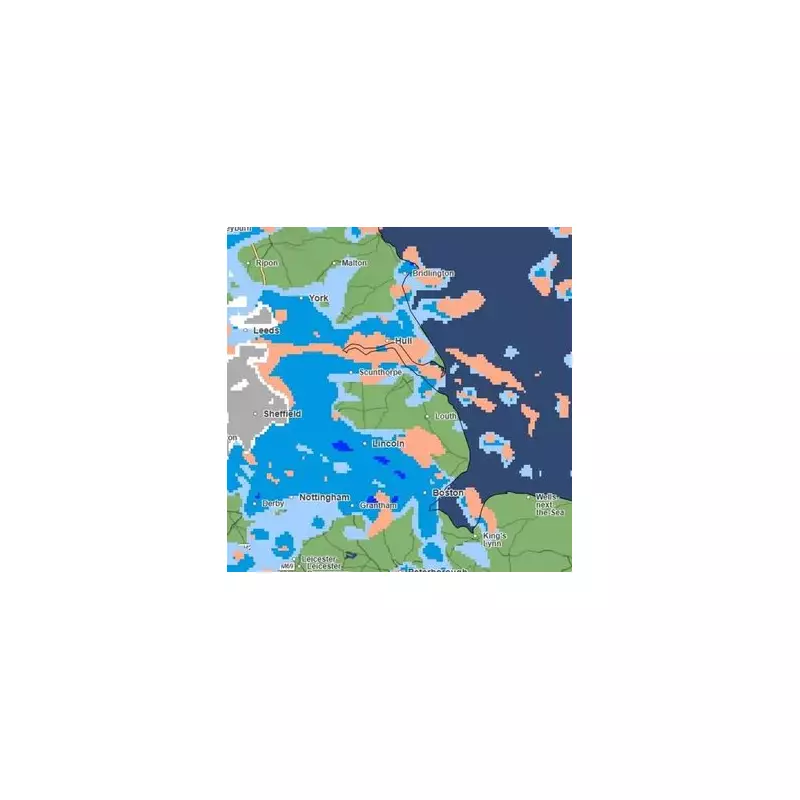
A significant wintry blast is set to sweep across England this week, with weather maps indicating that 21 counties will be hit by snow starting from 6am on Wednesday, November 19.
Which Areas Are Affected?
According to projections from WX Charts, which utilises Met Desk data, the snowfall is expected to be widespread. The initial focus will be on the North East of England, North West, and West Midlands, extending into the North Midlands and East Midlands.
However, the cold snap will also reach further south. The data suggests that Kent and Gloucestershire are in the firing line, with temperatures potentially plunging to a biting -6°C.
The full list of counties at risk includes coastal areas in the east such as Kent, Suffolk, Essex, and Norfolk, as well as many inland regions. The complete list is:
- Worcestershire
- Staffordshire
- Shropshire
- Telford and Wrekin
- Derbyshire
- Nottinghamshire
- Lincolnshire
- Yorkshire
- Rutland
- Leicestershire
- Cheshire
- Greater Manchester
- Lancashire
- Northumberland
- Durham
- Cumbria
Official Warnings and Projected Impact
The Met Office has issued a formal weather warning for snow and ice. Jo Farrow from Netweather TV provided detailed analysis, stating: "The Met Office has another warning for the middle of the week, a widespread, longer warning of Snow & Ice from Tuesday evening through Wednesday and Thursday."
This warning covers the northern third of mainland Scotland and the Islands, as well as coastal eastern Britain from the Scottish Borders down to the Humber.
In terms of accumulation, modest hills could see 2-5cm of snow, while moors and mountains exposed to the northerly flow could receive a further 10 to 20cm. Snow showers are also expected to reach lower levels in exposed areas, contributing to a distinctly wintry feel on Wednesday and Thursday.
Ms Farrow added, "Eastern England could see a lot of mixed showers on Wednesday afternoon with Pembrokeshire also seeing lots on the other side of Britain."
A Brief Respite Before Weekend Changes
The cold spell is not without end. Forecasters predict a change over the coming weekend. "Thursday night turns clear and cold for a time with light winds," said Ms Farrow. "There will be a change for the weekend as the winds turn to a westerly, then a southerly and an Atlantic front arrives from the west."
This shift will bring cloud and rain, but it could initially lead to a period of sleet and snow over Britain's high ground as the milder air collides with the existing cold pool. This marks a decisive change from the cold northerly winds dominating the middle of the week.


