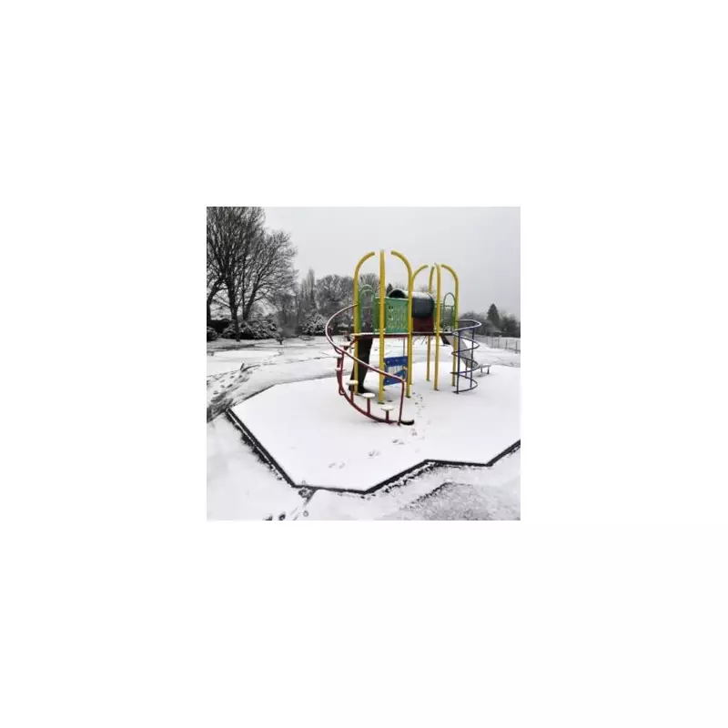
The United Kingdom is preparing for a major winter weather event in the first week of the new year, with forecasters predicting a substantial 'snow bomb' will strike parts of the country.
When and Where the Snow Will Strike
Advanced weather modelling indicates that a band of snow, stretching an estimated 372 miles, is set to impact the UK around January 3, just after New Year's Day. The system is expected to move in from the east coast, potentially making landfall near Whitby, and could persist into January 4.
According to data from WX Charts, which utilises Met Desk information, the eastern half of England will bear the brunt of this wintry blast. The regions in the firing line include:
- The North East, encompassing Cumbria, Northumberland, and County Durham.
- Yorkshire and the Humber.
- East Anglia, specifically Norfolk and Suffolk.
In contrast, the western half of England, along with Wales and Northern Ireland, is projected to remain largely snow-free based on current charts.
Plunging Temperatures and Weather Patterns
The snowfall will be accompanied by a severe drop in temperatures. Yorkshire could see lows of -5°C, while parts of Scotland may shiver in an even more bitter -7°C.
Experts at Netweather TV explain the broader meteorological context for the late December to early January period. They note that high pressure is likely to dominate, but a significant cooling over continental Europe means any easterly winds reaching the UK will be cold and capable of carrying wintry precipitation.
"While there may be snow events during this week, the emphasis is expected to be predominantly on dry and cold weather," their analysis states. It adds that towards the end of the first week of January, high pressure may shift, potentially pulling in colder northerly winds.
Regional Variations and Outlook
The forecast suggests a stark divide across the nation. Eastern areas are likely to experience the coldest conditions and highest risk of snow, with sunshine levels below normal, especially near North Sea coasts.
Western and southern regions of Britain, however, may see temperatures 1-2°C below normal but with drier conditions and more sunshine. Northern and eastern Scotland, along with north-east England, could paradoxically see slightly above-average temperatures during this period, though still cold overall.
Residents in the affected eastern counties are advised to monitor the latest forecasts from the Met Office as the potential event draws nearer and to prepare for possible travel disruption and icy conditions in the first week of 2026.


