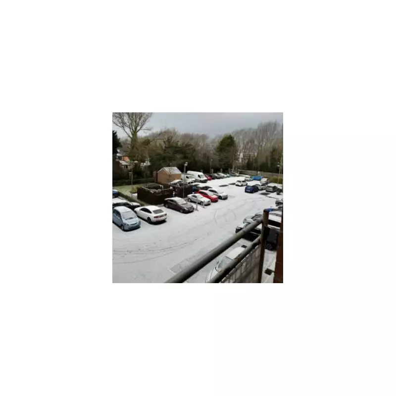
The United Kingdom is preparing for another significant snowfall, with forecasters warning that up to 37 centimetres of snow could settle in parts of Scotland within days. The expected date for this next bout of severe wintry weather has been brought forward from around January 14 to Friday, January 9.
Widespread Warnings and Forecast Accumulations
A prolonged cold spell is set to continue across the country, bringing a range of hazardous conditions. The Met Office has issued a string of four Amber warnings for snow across the northern half of Scotland, complemented by numerous yellow warnings for snow and ice extending from Scotland and Northern Ireland to parts of Wales and England.
According to the latest data from forecaster WX Charts, the heaviest accumulations are expected by 9pm on Friday, January 9. Inverness could see 37cm of snow, while London may receive around 8cm and Manchester approximately 7cm. Other expected totals include 5cm for Newcastle and 3cm for Glasgow.

Health Alerts and Expert Analysis
In response to the ongoing freeze, the UK Health Security Agency (UKHSA) has issued amber cold health alerts for England, which remain in place until January 6. This indicates significant impacts on the health sector are likely.
Netweather TV forecaster Ian Simpson provided detailed analysis of the incoming systems. "It is currently forecast that a frontal system will push south-eastwards through the country next Tuesday/Wednesday bringing rain, sleet and snow," he said.
Mr Simpson explained that while most areas will see precipitation from this frontal system, the associated pool of less cold air means many may experience sleet or rain rather than snow. He indicated that northern and eastern Scotland and eastern England are most likely to see falling and lying snow at modest elevations.
An Unsettled Pattern Ahead
The forecaster added that after this system, milder and wetter weather is expected to try to spread from the south-west. However, the transition may not be straightforward, particularly for northern and eastern Britain.
"As our current northerly runs out of steam, blocking highs will develop to the north of Britain, with potential for these to extend to Scandinavia at times," Mr Simpson stated. This setup could funnel further cold air from the north-east, leading to the potential for additional snowfalls as Atlantic fronts push into the colder air.
The situation remains fluid, and residents across the UK are advised to stay updated with the latest forecasts and travel information as the week progresses.