
The UK is set for a dramatic shift from mild autumn weather to a bitter taste of winter, with forecasters warning of a severe cold snap set to grip the nation this week.
Arctic Air Triggers Nationwide Deep Freeze
After an unseasonably mild start to November, a surge of freezing Arctic air is expected to descend over the UK in the coming days. The cold front will initially strike northern regions before spreading across the entire country, leading to a sharp plunge in temperatures.
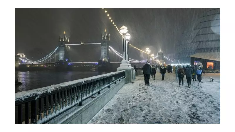
New weather maps reveal that wintry showers could reach as far south as London, Essex, Cornwall, and Devon. From Wednesday, November 19, widespread snowfall is anticipated for Scotland, northern England, and parts of Wales and the South.

Temperatures are forecast to drop to as low as -7°C in the Scottish Highlands, with areas like Argyll and Bute, Perth and Kinross, Angus, and Stirling seeing lows around -5°C. Northern England, including Liverpool and Newcastle, could hit -3°C, while Yorkshire may fall to -1°C. Southern areas, including London, will struggle to rise above 3°C.
Met Office Issues Wintry Hazards Warning
Dan Holley, deputy chief meteorologist at the Met Office, confirmed the significant change. He stated, “As Storm Claudia retreats to the south, high pressure to the northwest will drive a cold northerly flow from the Arctic across the UK. This will bring much colder conditions than of late.”
He further warned of widespread frosts, a significant wind chill, and risks of snow and ice, advising the public to monitor forecasts for potential weather warnings.
By Wednesday night, snow is expected to blanket Scotland, the Northwest, the Northeast, North Wales, and Manchester, later extending to parts of London, Surrey, Essex, Cornwall, and Devon.
Could a 'Beast from the East' Event Return?
Meteorologists are monitoring signs of a potential sudden stratospheric warming (SSW) event around November 25-26. This is the same atmospheric phenomenon that contributed to the infamous ‘Beast from the East’ in 2018.
An SSW occurs when temperatures high in the stratosphere rapidly increase, disrupting the polar vortex and potentially forcing frigid Arctic air into Europe. While this increases the likelihood of colder and wintrier conditions for the UK later in November and into December, experts stress that a repeat of the extreme 2018 weather is not expected.
Netweather forecaster Nick Finnis indicated that the setup could favour colder air pushing into northern Europe, raising the chances of wintry conditions for the UK.
In the short term, the Met Office forecast for the week is clear: Tuesday and Wednesday will bring rain and hill snow, especially in the north, followed by a cold, bright Thursday with widespread overnight frosts.


