
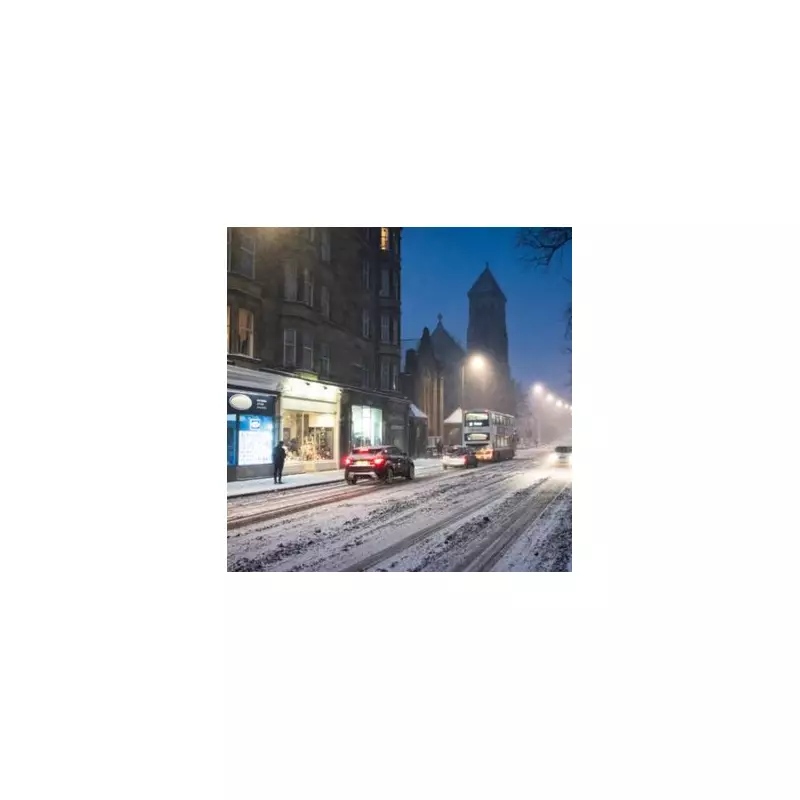
Britain is bracing for a potentially white Christmas as forecasters warn a severe cold snap, reminiscent of the infamous 2018 'Beast from the East', could sweep across the country on December 25th. The latest weather models indicate a freezing air mass moving from Europe towards the UK, threatening significant snowfall and plunging temperatures.
Christmas Day Snow Blanket Predicted
The latest data from weather service WXCharts shows snow is likely to fall and settle across higher ground in Scotland, northern England, and Wales on Christmas Day. The snowfall is expected to begin in the south before gradually spreading northwards throughout the day, reaching Scotland by late afternoon. This pattern mirrors the conditions seen during the 2018 event, which brought temperatures as low as -14°C and widespread disruption.
Met Office's Cautious Long-Range Outlook
While the Met Office has not yet confirmed specific Christmas Day snowfall, its long-range forecast points to unsettled conditions in the run-up to the holiday. Officials anticipate a gradual reduction in temperatures later in December, bringing them closer to the seasonal average. The forecast for the period also suggests a greater chance of high pressure developing, which would reduce strong winds but increase the risk of overnight frost and fog.

Unsettled Start to the Week
The week beginning Monday 16th December starts with heavy rain, particularly in Wales where an Amber Warning is in place. Further rain is expected throughout the first half of the week, easing on Tuesday before a return of wet and windy conditions on Wednesday. This precedes the potential arrival of the much colder easterly flow.
Residents, especially those in the highlighted regions, are advised to stay updated with the latest forecasts from the Met Office as the situation develops. The possibility of a disruptive 'Beast from the East' event on Christmas Day means travel plans could be affected, with icy conditions and snow a significant risk.


