
Weather forecasts for the West Midlands have undergone a dramatic reversal, with earlier predictions of significant snowfall now completely withdrawn.
From Snow to No-Show
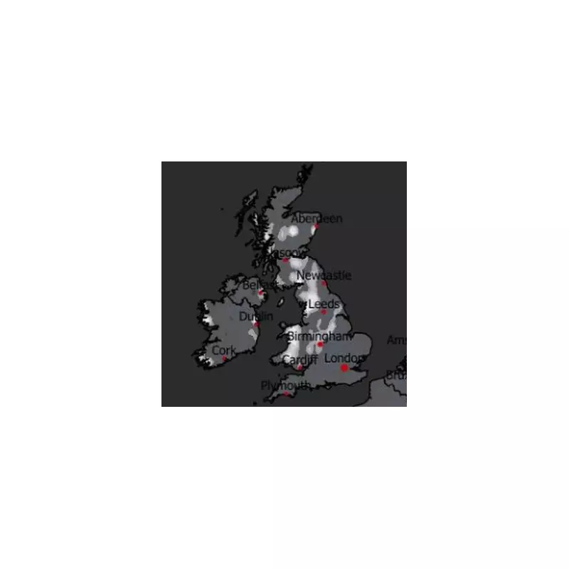
Initial data from WXCharts, based on MetDesk information, had suggested that up to 5cm of snow would settle across the West Midlands and 15 other counties by 6am on Friday, December 5. The forecast indicated a widespread wintry spell affecting areas from Staffordshire and Worcestershire to parts of Wales and Northern England.
However, the latest weather maps tell a different story. They now show that the anticipated snow will largely bypass England and Wales, with only Scotland expected to receive the wintry weather on that Friday morning.

Active Weather Warnings for Wales and England
While the snow threat has receded for next week, the Met Office has issued immediate severe weather warnings for the start of the month. A 24-hour amber rain alert is in place for central and south Wales, active from midnight on Sunday, December 1.
Forecasters have warned that heavy downpours could lead to flooding of homes and businesses. The Met Office stated, "20-40 mm of rain is likely to fall quite widely across the wider region, but 60-80 mm is likely to accumulate over some windward-facing high ground in south Wales and perhaps nearer 100-120 mm in a few places."
This significant rainfall poses risks including power cuts and disruptions to rail and bus services.
Widespread Yellow Warnings Issued
In addition to the amber warning for Wales, the Met Office has issued yellow severe weather warnings for a large swathe of England for Monday, December 1. The affected regions include:
- East Midlands
- North West England
- Yorkshire and Humber
- London and South East England
- South West England
- Herefordshire
This serves as a reminder that while the snow forecast has changed, the UK weather remains highly dynamic and requires close attention to the latest official updates from the Met Office.


