
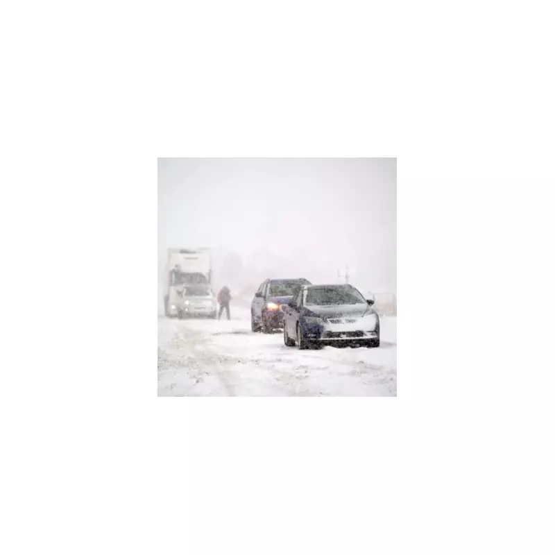
Britain is on alert for a prolonged period of severe wintry weather, with fresh forecasts indicating the potential for five consecutive days of heavy snowfall starting just after Christmas.
Snow Maps Pinpoint Dates and At-Risk Regions
According to the latest data from WX Charts, the disruptive wintry spell is currently projected to begin in the early hours of Friday, December 27. The adverse conditions are then expected to persist across parts of the country until Tuesday, December 31.
The weather models suggest the initial flurries will arrive from the east around 6am on the 27th, initially affecting areas including Birmingham, the wider West Midlands and Staffordshire. As the day progresses, the snow is forecast to sweep across the nation, reaching parts of Scotland by the afternoon.

Sub-Zero Temperatures and Widespread Impact
Regions highlighted as being particularly at risk from significant accumulations include East Anglia, the West Midlands conurbation, and the North East of England encompassing Newcastle. Later in the period, the south west, including Gloucestershire and the Cotswolds, could also see disruptive falls.
Accompanying the snow will be a dramatic drop in temperatures. The charts turn a stark icy blue by Monday, December 30, indicating that thermometers could plunge to a bitter -6°C in some places, creating widespread ice hazards.
BBC Forecast Hints at Drier, Colder Pattern
The extended outlook from BBC Weather for the week of Monday 22 to Sunday 28 December references a shift in the prevailing pattern. It states that Atlantic weather systems are likely to be blocked by high pressure developing over Scandinavia.
This setup is expected to bring drier and chillier conditions for much of the UK, with easterly winds gradually lowering temperatures closer to the seasonal average. The forecast notes: "By the end of the week... This would introduce north-east to north-westerly wind flows and chances of some colder air."
However, the BBC currently suggests any snow showers should be confined to higher elevations, making a widespread white Christmas unlikely for most. The greater risk for many will be frost and fog during any calmer interludes.
Residents across the highlighted regions are advised to monitor the latest forecasts closely and consider potential travel disruption as the new year approaches.


