
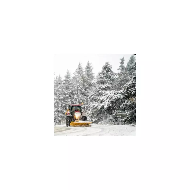
New weather data indicates a significant winter blast is set to strike the United Kingdom around the New Year period, with snowfall predictions now more severe than initially anticipated.
Snowfall Predictions and Timeline
According to the latest maps and charts from WX Charts, certain regions of the UK could see accumulations of up to six inches (approximately 15 centimetres) of snow before the clock strikes midnight on December 31st. The advanced GFS weather model suggests the first flakes could begin to fall as early as 6am on Monday, December 30th.
The primary focus of the heaviest snow is expected to be across Scotland and the far north of England. Initial projections indicate around three inches for Aberdeen, with the potential for this to increase to five inches or more as the system develops. Areas such as Aberdeenshire and Dundee are highlighted as being particularly at risk from this New Year's Eve snow bomb.

Regions at Risk of Significant Snow
The disruptive weather is not confined to the north. Forecasts suggest the band of snow could push further south, potentially hammering parts of the West Midlands. Major urban centres including Manchester, Birmingham, and Stoke-on-Trent are among the locations that could witness a notable covering.
Other areas likely to receive a dusting include Yorkshire, Cumbria, Northumberland, Durham, and Tyne and Wear. Even southern and eastern regions are not expected to escape entirely. Lighter snowfall is predicted for parts of East Anglia, Kent, Essex, and potentially London, though significant accumulations in these areas are less certain.
Uncertain Outlook into January
The snow event is forecast to continue into Tuesday, December 31st, potentially impacting New Year's Eve celebrations and travel plans. Looking further ahead, the BBC Weather outlook for the period from Monday, December 29th to Sunday, January 11th describes a potentially colder and drier spell.
The forecast states: "The outlook throughout New Year and into January is even more uncertain than usual... Conditions are most probably going to be drier than normal with relatively low winds for most of the time. As a result, we can expect frost and fog at times, with temperatures near or a little below the seasonal average."
However, the depth and duration of this cold period remain highly unpredictable. The BBC suggests that by the second week of January, high pressure could shift, allowing milder and more unsettled weather to return, with a chance this change could occur even sooner.
Residents across the affected regions are advised to stay updated with the latest local forecasts and travel information as the New Year approaches.


