
Britain could be in for a festive dusting as weather models suggest snow may fall across all parts of the UK by the close of Christmas Day. A significant cold snap, originating from Russia, is predicted to sweep across the country, bringing the potential for a dramatic white Christmas.
Forecasters Predict a Deep Freeze
According to Netweather forecaster Nick Finnis, conditions are set to turn "drier and colder" next week. He explains that this shift could lead to the development of a southeasterly airflow, which "may bring in colder air from Russia in time for Christmas."
Detailed modelling from Netweather indicates that temperatures could plunge to a biting -9°C across England and Wales on December 25th. Such intense cold would be sufficient for sleet and snow within any showery easterly flow. Finnis noted that recent midday runs from various weather models are converging on the idea of tapping into deep, cold air over northwest Russia, with a strengthening easterly wind potentially delivering it to the UK by Christmas Day.

Conflicting Models on Snow Potential
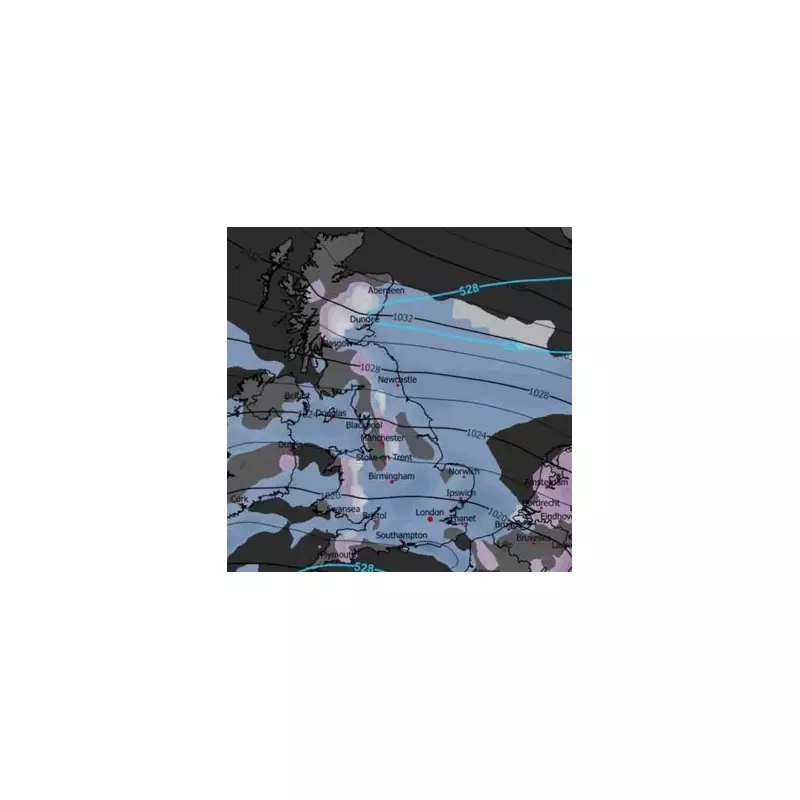
The data presents a compelling yet complex picture. The GFS model shows air cold enough for snow showers across northern regions. More strikingly, the GEM and ICON models suggest air temperatures will be cold enough for snow across all parts of the UK by the end of Christmas Day.
Finnis added a note of caution, stating that the exact outcome hinges on the precise orientation and position of high pressure, likely centred to the north of the UK, and low pressure over the near continent to the south. "Slight differences or changes can make a lot of difference in the depth of cold arriving from the east," he warned.
Official Forecasts Urge Caution
In contrast to some of the more dramatic model outputs, the Met Office has declared the chances of a widespread white Christmas this year are "extremely low." Operational meteorologist Tom Morgan confirmed that high pressure will dominate next week, leading to much drier conditions after a very wet month.
BBC Weather also believes a white Christmas is "unlikely" for most people. Its forecast for next week suggests easterly winds will gradually lower temperatures to near the December average. While high pressure could shift later in the week, introducing colder north-easterly flows, any snow showers are expected to be confined to higher elevations. The broader prediction is for frost and fog on calmer nights, rather than widespread snowfall for lowland areas.
As Christmas approaches, the nation will be watching the skies, with the possibility of snow adding an extra layer of anticipation to the festive season.


