
A significant Arctic weather front is set to sweep across the UK this week, with forecasts indicating that snow will impact nearly half of England on Wednesday. However, in a contrasting turn of events, 29 counties are expected to be spared from the wintry flurries.
Which Areas Are Most at Risk?
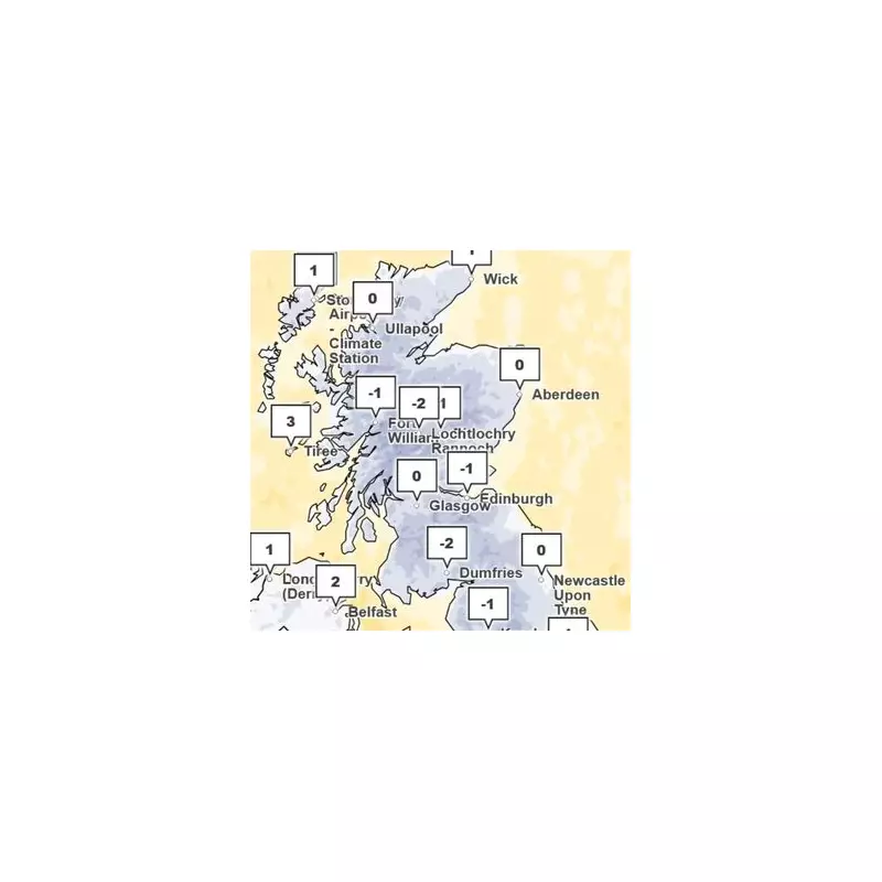
According to detailed Met Office maps, the snowfall is predicted to peak during Tuesday and Wednesday. The regions facing the highest risk on Wednesday morning include North Yorkshire, County Durham, and the area surrounding Manchester.
Other northern counties bracing for potential disruption are Northumberland, Cumbria, Lancashire, Cheshire, and Staffordshire. The meteorological data suggests that by Wednesday afternoon, the majority of the snow will have retreated, becoming confined primarily to the north of Scotland.

The Counties Escaping the Worst
A large swathe of the country, particularly anywhere south of Staffordshire in the north Midlands, is likely to escape the brunt of this cold snap. The extensive list of areas expected to be spared includes:
Nottinghamshire, Leicestershire, Derbyshire, Lincolnshire, and Rutland.
Also missing the worst of the weather are Worcestershire, Warwickshire, the West Midlands, Shropshire, Northamptonshire, Cambridgeshire, Oxfordshire, Buckinghamshire, Bedfordshire, and Hertfordshire.
Furthermore, the following counties are also likely to see little to no snow: Herefordshire, Gloucestershire, Wiltshire, Somerset, Hampshire, Devon, Dorset, Cornwall, Berkshire, Essex, Kent, Greater London, Surrey, Sussex, Norfolk, and Suffolk.
Expert Analysis and Health Warnings
Jo Farrow, a forecaster from Netweather TV, provided deeper insight into the weather system. "As the little low pressure continues southeastwards, there will be plenty of showers coming into NW England and western Wales leaving a risk of ice through Tuesday night," she explained.
She added, "Behind the low there will be colder air from the north with a greater chance of snow from any precipitation over northern Britain."
For the Midlands and southern regions, Farrow warned of "bands of cloud, rain and sleet moving southwards before dawn on Wednesday." She noted that over high ground, a slight covering of wet snow is possible, creating a risk of an "ill-timed bit of snow for the morning rush hour" that is not expected to last long.
Emphasising the feel of the weather, she stated, "Everyone will notice the cold north wind on Wednesday. It will feel much colder than the air temperature values of 4 to 7C."
Dr Agostinho Sousa, head of extreme events and health protection at the UK Health Security Agency (UKHSA), urged the public to take this "first prolonged cold spell of the season" seriously. He stressed that it is "vital" to check in on vulnerable friends, family, and neighbours.
"The forecasted temperatures can have a serious impact on the health of some people, leading to increased risk of heart attacks, strokes and chest infections, particularly for individuals over the age of 65 and those with pre-existing health conditions," Dr Sousa added.


