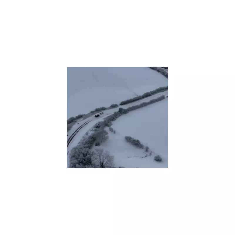
The United Kingdom is preparing for a significant wintry blast, with weather models predicting up to 18 centimetres (seven inches) of snow to hit parts of the country at the start of December.
Worst-Hit Counties and Forecast Timeline
According to data from WX Charts, which utilises Met Desk information, the most severe conditions are expected to strike on Saturday, December 6. The wintry weather is then forecast to persist into Sunday, December 7, and potentially Monday, December 8.
Four English counties have been identified as being at the highest risk of heavy snowfall:
- Cumbria
- Northumberland
- Durham
- Staffordshire
Official Met Office Outlook
The Met Office's broader outlook, covering the period from November 30 onwards, suggests a generally changeable and unsettled pattern for the UK. Low-pressure systems are expected to dominate, bringing showers or longer spells of rain across much of the country.
Their forecast indicates that snow will probably be confined to high ground in the north during this period. They also warn of potential periods of strong wind, especially around coasts. While temperatures are expected to be close to average or slightly above overall, brief settled spells are possible, particularly in the southeast.
Looking Further Ahead to Christmas
For the period spanning December 10 to Christmas Eve, the Met Office predicts continued unsettled conditions. Spells of wet and windy weather are likely, especially in the northwest, with some drier intervals possible in the southeast.
Later in the month, the details become more uncertain, but it may become wetter in the south and somewhat drier in the north. Crucially, the forecast states that temperatures will probably be above average overall for this mid-December period.
This impending cold snap follows the first significant snowfall of the season two weeks ago, which brought flurries as far south as the Midlands.


