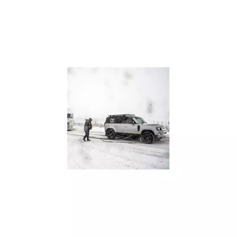
The United Kingdom is preparing for a significant winter weather event as forecasters predict a staggering 34 centimetres of snow could blanket parts of the country next month, just weeks before Christmas.
Widespread Snow Alert
Meteorological models indicate that from December 10, an Arctic blast will bring snow flurries that could affect virtually every region from the south coast of England to the northernmost parts of Scotland. The snowfall is expected to last for multiple days in many areas, creating potentially disruptive conditions.
Fourteen counties across England have been identified as particularly at risk from this substantial snowfall. The affected regions span both the Midlands and southern England, highlighting the extensive nature of this weather system.

Counties Facing the Worst Impact
Areas expected to bear the brunt of the heavy snowfall include the West Midlands, Greater Manchester, Staffordshire, and Lancashire. Warwickshire, Shropshire, Worcestershire, and Herefordshire are also on alert for significant accumulation.
Southern counties haven't been spared from the warning either. Hampshire, Sussex, Devon, Dorset, Cornwall, and surprisingly even Greater London could all experience snowfall during this period.
Snow Depth Predictions and Met Office Outlook
Snow depth charts for December 13 reveal a dramatic variation in expected accumulation across the country. While parts of southern England might see around 1cm of snow, the greatest accumulations are predicted in Scotland, where some areas could receive up to 34cm of snow.
The Met Office medium-term forecast for December 2 onwards describes "changeable and often unsettled conditions" across the UK. Their statement explains: "Low pressure systems will tend to dominate meaning showers or longer spells of rain for much of the UK, though some brief drier, more settled interludes are also possible."
The forecasting agency specifically notes that "the greatest chance of snow will probably be over northern high ground" during this period. They also warn that "given the dominance of low pressure, strong winds are also likely at times," which could create blizzard-like conditions in some areas.
While temperatures are generally expected to remain close to average for the season, the Met Office adds that "colder conditions may occasionally encroach into northern areas," with frost likely overnight where clearer conditions develop.