
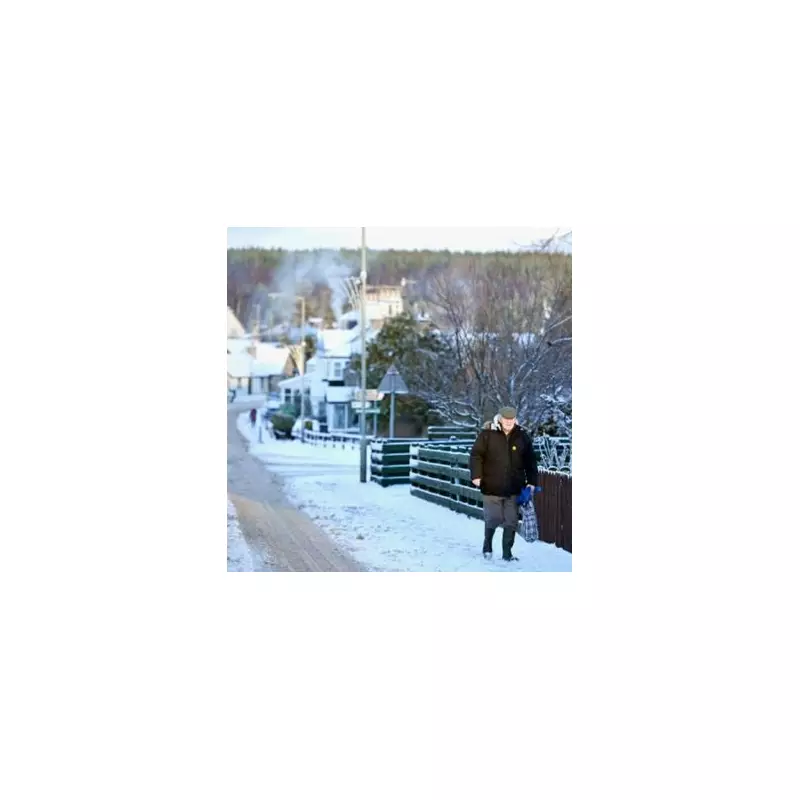
Britain is braced for a dramatic and hazardous shift in weather early in the New Year, with forecast maps predicting a 'snow bomb' that could trigger a rare phenomenon seldom seen across England.
Dramatic Weather Shift Forecast for January
Detailed weather charts from WX Charts have turned orange, indicating the potential for an extraordinary outbreak of freezing rain. This rare event is forecast to begin sweeping across the country from January 5, following the Christmas and New Year period. The system is expected to bring a swathe of wintry precipitation stretching an estimated 450 miles from parts of England up into Scotland.
According to the maps, everywhere north of the Midlands is likely to be affected, experiencing either significant snowfalls, shown in purple, or the more unusual freezing rain, depicted in orange. This sets the stage for widespread travel disruption and hazardous conditions as the UK enters the new year.

What is Freezing Rain and Why is it Dangerous?
Freezing rain is a rare form of precipitation in the UK that occurs when rain falls through a warm layer of air, then passes through a sub-zero layer close to the ground. Unlike sleet, the droplets remain liquid until they strike a cold surface, where they freeze almost instantly into a clear, glazed ice.
The Met Office has emphasised the specific and uncommon conditions required for this phenomenon. "The conditions needed for freezing rain are quite specific and we don’t see this phenomenon very often in the UK," a spokesperson explained. "It can produce striking effects, as the rain drop spreads out momentarily across the surface before it freezes, encasing the surface in a layer of clear ice."
However, the dangers extend beyond the visually striking 'ice glaze' effect. The Met Office warns that the resulting ice can be extremely hazardous, creating lethal conditions on roads and pathways. The weight of accumulated ice can also be heavy enough to bring down trees and power lines, causing large-scale disruption. Additionally, freezing rain poses a severe risk to aircraft.
Ice Storms and Christmas Weather Context
While rare in Britain, such events, often termed 'ice storms', are more common in places like the United States. The Met Office notes that when enough glaze ice collects, the strain on infrastructure can lead to significant damage and outages.
This forecast follows a relatively mild Christmas Day for many, with the highest temperatures recorded around 7°C (45°F) in north-east England and 6°C in the south and south-east. However, the Met Office reported that frost and freezing temperatures were likely in western rural areas overnight into Boxing Day, with lows of -6°C possible in rural Scotland and -4°C in rural Wales.
Residents across central and northern Britain are now advised to monitor forecasts closely in the coming days and prepare for potentially severe winter conditions in the first week of January.


