
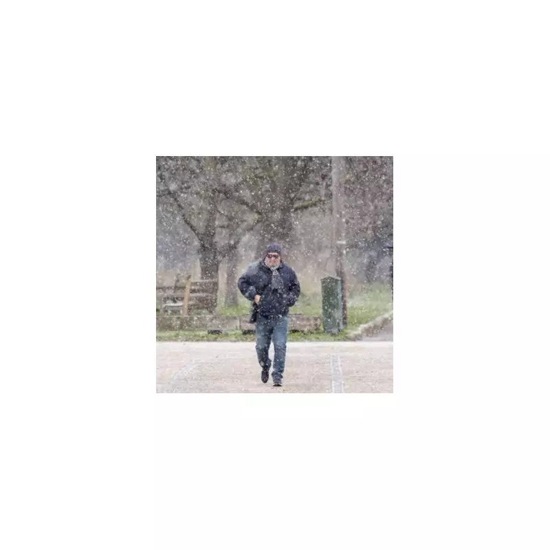
The United Kingdom is preparing for a severe double hit of wintry weather, with forecasters warning of two significant snow events arriving in rapid succession. This continues a pattern of brutal winter conditions gripping the nation.
Heavy Snowfall Predictions Across the Country
According to data from weather specialists WX Charts, as many as 90 counties could experience snowfall, with depths potentially reaching a staggering 72 centimetres in the worst-affected areas. The first major bout of snow is projected for 9am on January 28, with central Scotland expected to see around 26cm of accumulation and flurries spreading across much of the country.
A second, follow-up snow event is then forecast to strike from January 31, threatening to compound travel disruption and extend the big freeze. Reports indicate the snowfall will have "no mercy", potentially blanketing areas from the southern coast of England to the northernmost tip of Scotland.

Scotland Bears the Brunt as Temperatures Plummet
Scotland is predicted to see the bulk of the extreme conditions. The Cairngorms National Park is in line for the heaviest dump, with the forecast peak of 72cm. Meanwhile, temperatures are set to crash dramatically alongside the snow.
Stirling in Scotland could see the mercury plunge to a bitter -9°C. However, not all regions will face the whiteout. Maps suggest that parts of Hampshire and Devon in England may be spared the worst, indicated by grey zones rather than the white that signals imminent snowfall on the forecasting models.
Forecasters Point to a Colder Turn
The BBC's forecast for the coming week highlights increasing uncertainty, but points towards a colder outcome as more likely. It suggests high pressure could build to the northeast, extending towards the UK from Scandinavia and the Urals.
This weather pattern would have a dual effect: holding back milder Atlantic systems while pulling in colder air from Europe on easterly winds. The BBC notes: "As a result, a few wintry showers could develop... This colder turn appears the most probable outcome and may begin by the weekend, although confidence in the exact timing remains low." The maps and charts cited are based on the ECMWF (European Centre for Medium-Range Weather Forecasts) modelling system.
The UK is now on alert for this one-two punch of winter weather, with authorities likely to issue further advice on travel and preparedness as the forecast becomes clearer.


