
Fresh weather maps have identified the precise moment the first significant snowfall of 2026 is predicted to strike the United Kingdom, heralding a sharp New Year temperature drop.
Snow Set to Sweep Scotland on January 2
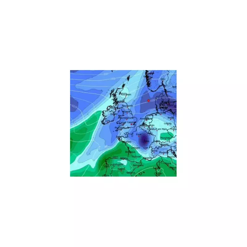
According to data from the forecasting service WXCharts, a band of snow is expected to move across central and north-west Scotland precisely at midnight on January 2, 2026.
Forecasters indicate that some of the hardest-hit areas could see accumulations of up to 4cm as a pronounced chill takes hold after the New Year celebrations.

Plummeting Temperatures Across the Nation
The maps reveal a large mass of Arctic air poised to settle over the British Isles at the start of the year. Ironically, some of the coldest conditions are forecast for southwest England.
Plymouth could experience lows of -3°C, while much of Wales and London brace for temperatures around -2°C. Further north, the Midlands and central Scotland are also expected to shiver in sub-zero conditions, with overnight lows of -1°C predicted.
Met Office Long-Range Forecast Confirms Chill
The Met Office's official long-range forecast, covering the period from December 26 to January 4, supports the prediction of colder weather. It states that "below average" temperatures are on the way for the UK.
While the forecast avoids specifically mentioning snow for the New Year period, it highlights a significant wind-chill factor. The forecaster stated that high pressure building to the north will bring a strengthening easterly then northeasterly wind, making it feel notably colder.
They added that although much of the country will stay dry, some "wintry" showers could affect eastern and southern parts, particularly over higher ground, as high pressure dominates the run-up to 2026.
This new data follows a recent Met Office update on the prospects for a white Christmas, as the festive period approaches.


