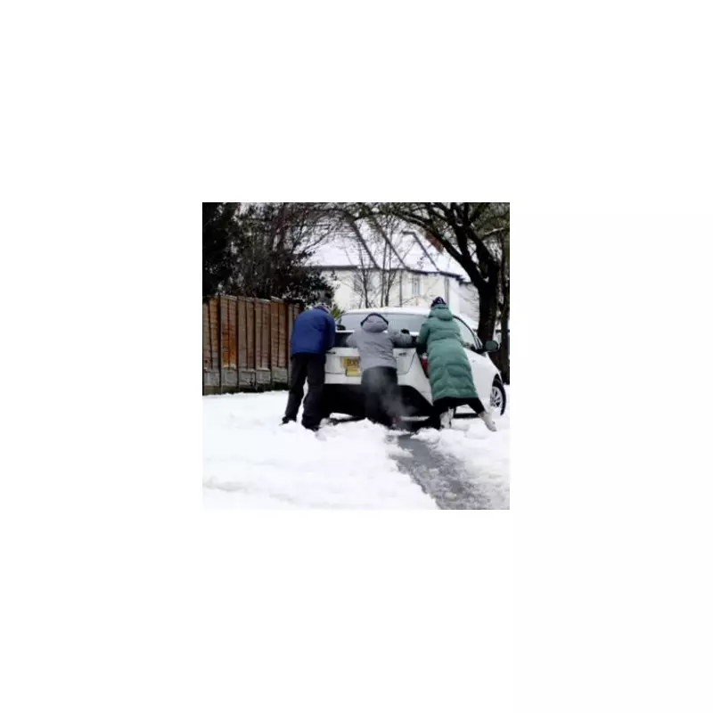
The Met Office has issued a significant weather warning, indicating that the United Kingdom is set to experience a notable drop in temperatures, accompanied by the potential for snow showers in the coming weeks. This forecast comes as part of the national forecaster's long-range predictions, which highlight a shift towards colder conditions that could bring wintry hazards to various regions.
Detailed Forecast for Late January to Early February
In its extended outlook covering Sunday, January 25, through Tuesday, February 3, the Met Office explains that weather systems originating from the Atlantic will attempt to move eastward but are likely to stall near the UK due to high pressure situated to the north and northeast. This atmospheric setup is expected to result in periods of rain or showers, which may be heavy and persistent, particularly in southern and western areas. Meanwhile, drier intervals are anticipated in the far north and northeast.
Notably, while milder conditions might occasionally affect the south and southwest, the overall trend is towards colder weather during this timeframe. This temperature decline increases the risk of snow showers, with hills in Scotland and northern England identified as the most probable locations for such wintry precipitation. The forecast underscores the variability in weather patterns, with a mix of mild and cold spells influencing different parts of the country.
Extended Outlook into Mid-February
Looking further ahead to Wednesday, February 4, through Wednesday, February 18, the Met Office anticipates that similar weather themes will persist. Atlantic frontal systems are expected to continue their attempts to push eastwards at times, but with the jet stream positioned slightly further south than usual, the wettest conditions are more likely to occur in central and southern regions of Britain.
In contrast, northern and northwestern parts of the UK are forecast to be drier than normal. However, the interplay between milder, wet, and windy weather in the south and west, and colder conditions in the north and northeast, could lead to associated wintry hazards. This includes the potential for snow, especially on higher ground, as any precipitation spreads into these colder areas.
Implications for the UK
The warning from the Met Office serves as a crucial alert for residents across the UK, particularly those in Scotland and northern England, where the risk of snow showers is highest. The forecast highlights the dynamic nature of British weather, with a combination of factors such as high pressure, Atlantic systems, and jet stream positioning contributing to the predicted conditions.
As the country braces for this colder snap, it is essential for individuals to stay informed about local weather updates and prepare for potential disruptions. The Met Office's emphasis on wintry hazards underscores the need for caution, especially in hilly and northern regions where snow and icy conditions could impact travel and daily activities.
This forecast aligns with typical seasonal patterns but provides specific details that help communities anticipate and respond to changing weather. By monitoring these developments, the public can better navigate the challenges posed by the impending colder weather and potential snowfall.


