
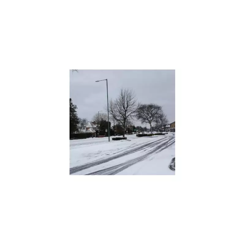
Britain is bracing for a significant winter onslaught as fresh meteorological data indicates an incoming 'snow bomb' will now impact a far wider area than initially predicted. Advanced modelling suggests that nearly the whole of England is set to face snow and plummeting temperatures in the New Year.
Widespread Snow Forecast for January 4
According to charts utilising Met Desk data, the cold snap is expected to intensify around January 4, following the Christmas period. The forecast shows a dramatic expansion of the wintry weather, with the entire country from the south coast to Scotland now in the firing line. The system indicates that every region in England could see flurries, including southern counties like Hampshire and Somerset, Greater London, the Midlands, and the east coast.
Heavy Accumulations and Arctic Chill
The north of England is forecast to bear the brunt of the snowfall, with potential accumulations of up to 25 centimetres in parts of Yorkshire, the North East, Durham, Cumbria, and Northumberland. Scotland is also set for substantial downpours, with Wick, Inverness, Aberdeen, and the Cairngorms National Park all in line for heavy flurries.

Accompanying the snow will be a severe drop in temperatures, driven by a swirling vortex of Arctic air. The mercury is predicted to fall well below zero across the nation. The Cairngorms could see lows of -12°C, while much of Scotland may experience temperatures between -6°C and -11°C.
Expert Outlook and Christmas Forecast
BBC weather expert Stav Danaos provided insight into the immediate forecast, stating: "On Sunday the weather will remain cloudy with some intermittent light rain possible for everyone." He added that Monday and Tuesday would bring a mix of cloud and occasional rain, with a trend towards cooler, drier conditions.
Danaos noted: "Then we are likely to see a quieter and drier spell of weather taking hold. Although a drop in temperature is expected, it does not currently look cold enough for any ice or snow." He confirmed that Christmas Day itself is expected to be drier and colder compared to the first half of December, before the more severe wintry conditions arrive in early January.
The GFS modelling system underscores this significant downturn in conditions, warning of widespread disruption as the winter weather sweeps across England, Scotland, and Northern Ireland. Residents are advised to stay updated with the latest travel and weather warnings as the New Year approaches.


