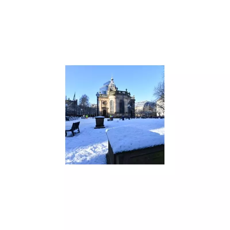
The United Kingdom is set to welcome 2026 with a wintry blast, as forecasts indicate significant snowfall could blanket parts of the country in the first days of the New Year.
New Year's Day Snowfall Predictions
According to detailed projections from WX Charts, which utilises data from the Met Desk and the advanced GFS model, flurries are likely to begin across England from around 6pm on January 1st. The forecasts suggest that up to 2 centimetres (cm) of snow could accumulate in several areas, marking a chilly start to the year.
Regions highlighted for potential disruption include the Forest of Bowland, the Lake District, the Pennines, and Durham. The weather maps depict these areas, along with Greater Manchester, Staffordshire, and Cheshire, covered in white and purple shading, which represents snowfall. The data indicates precipitation could reach up to 5mm per hour in some locations.
A Nationwide Chill and Expert Warnings
This cold snap is not confined to England. Forecasts show that Scotland, parts of North Wales, and Northern Ireland are equally at risk of seeing the white stuff. Temperatures across the UK are expected to plummet to single figures, with a notable easterly wind bringing a sharp, wintry feel as the new year commences.
Weather expert James Madden from Exacta Weather has reinforced these predictions, stating a "very notable cold period" is on the horizon. He pointed to the likelihood of cold winds from the east and snow showers from around December 27-29, potentially leading to more widespread snow prospects across large parts of the country.
Uncertainty in the Longer-Term Outlook
While the initial week of 2026 looks set to be frosty, the BBC Weather team has cautioned about uncertainty in the longer-range forecasts. They note that model outputs show widely differing depictions for January. The most probable scenario involves high pressure situated near or north of the UK, leading to conditions that are drier than normal with relatively low winds.
This setup would favour periods of frost and fog, with temperatures hovering near or slightly below the seasonal average. The BBC suggests that milder conditions could start to return by mid-January, but the duration and depth of the initial cold spell remain unclear.
Residents are advised to stay updated with the latest local forecasts as the New Year approaches and to prepare for potential travel disruption and colder weather.


