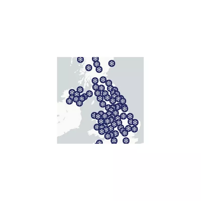
The United Kingdom is bracing for a major winter weather event, with new snow maps revealing that only a small cluster of nine English counties will escape significant snowfall tomorrow.
Widespread Snow Warning Issued
The Met Office has implemented a 15-hour yellow warning for both ice and snow, highlighting the severity of the incoming cold snap. The warning comes into effect as Arctic air plunges southwards, setting the stage for the first significant wintry conditions of the season.
Maps projecting snow accumulation show an extensive blanket of snow covering most of the country. The only areas expected to see limited snowfall are a southern string of counties: Dorset, Somerset, Wiltshire, Hampshire, Berkshire, Sussex, Kent, Greater London, and Buckinghamshire.
Timeline and Expected Impacts
The wintry weather is anticipated to begin in the early hours of Tuesday, November 18. A frontal system is forecast to move across southeast Scotland overnight, bringing a mix of rain, sleet, and snow.
Chief Forecaster Paul Gundersen provided specific details on the expected conditions: "Scattered showers feed into the northeast and far north of mainland Scotland on Monday night, bringing a risk of icy conditions on roads and pavements." He added that an area of rain arriving in western Scotland on Tuesday morning is likely to turn to snow as it moves inland.
Accumulations are expected to be most significant over high ground, with 2-5 cm possible above 150 metres and 5-10 cm above 400 metres. This snow is likely to cause disruption to travel and infrastructure across the higher parts of Scotland.
Prolonged Cold Spell Ahead
The cold weather is not a brief event. Deputy Chief Forecaster Tom Crabtree explained that the period from Wednesday to Friday will be the coldest part of the week, carrying the greatest potential for impactful weather.
Overnight temperatures could plummet to a biting minus ten degrees Celsius, with a significant wind chill from strong northerly winds making it feel even colder. Wintry snow showers are expected to extend south through Wednesday and into Thursday, mainly affecting north-facing coastal areas.
Crabtree warned of further accumulations: "On hills in parts of Northern Ireland, the northeast of England and Scotland, 5-10 cm of snow could fall and accumulations of 15-20cm are possible above 300 metres in parts of northeastern England and Scotland."
With sub-zero temperatures and multiple warnings in place, the Met Office stresses the importance for the public to keep up to date with the latest forecast as this significant cold snap develops.


