
The Met Office has significantly upgraded its snow warnings for the UK, with forecasts now predicting accumulations of up to 25 centimetres, or nearly 10 inches, set to blanket parts of the country.
Widespread Disruption as Amber Warning Issued
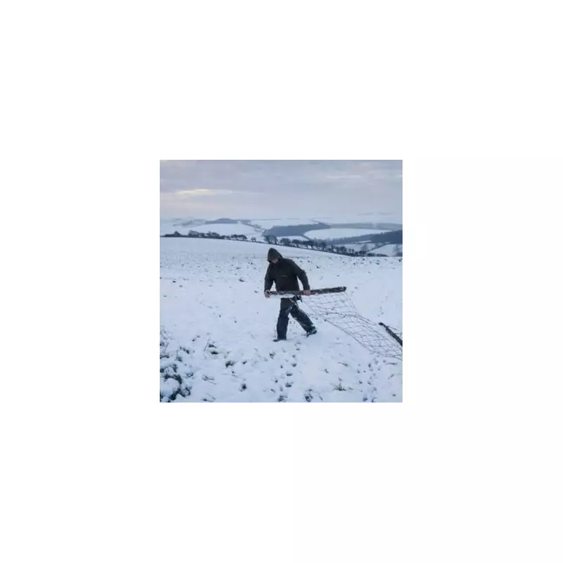
A staggering 39 locations are under snow warnings for Wednesday, November 19. The most severe alert, an amber warning, covers parts of the Northeast of England and Yorkshire and Humber, where the heaviest snow is expected. This level of warning indicates potential travel disruption, power cuts, and a risk to public safety.
The cold snap will affect a vast swathe of the UK, with 25 counties on alert. The areas at risk include:

- Scotland: Perthshire, Aberdeenshire, Tayside, Fife, Highlands & Eilean Siar, the Orkney Islands, the Shetland Islands, and Argyll and Bute.
- Northern Ireland: County Antrim, Armagh, Down, Fermanagh, Londonderry, and Tyrone.
- England: Durham, Cumbria, Northumberland, the Borders, East Riding of Yorkshire, North Yorkshire, Cornwall, and Devon.
- Wales: Carmarthenshire, Ceredigion, and Pembrokeshire.
Detailed Weather Forecast and Outlook
According to BBC Weather, cold northerly winds are responsible for this initial bout of wintry weather. The forecast for the immediate period is as follows:
Today: Any rain and hill sleet in the south-east will clear quickly. While many will enjoy sunny spells, it will remain windy with sleet and snow showers affecting north Scotland, Northern Ireland, and south-western and North Sea coasts.
Tonight: Much of the UK will be dry and clear. However, further wintry showers are expected for northern Scotland, Northern Ireland, and western and eastern coasts, making for a cold and breezy night.
Tomorrow (Thursday): The cold and windy conditions will persist, with sleet and snow showers continuing in northern Scotland, Northern Ireland, North Sea coasts, and west Welsh and south-west English coasts. Other areas will be dry with sunny spells.
A Milder Turn Expected Later in November
There is some respite on the horizon. The forecast suggests that the weekend and early next week will become less cold, with milder weather expected to return later in November. However, the first couple of weeks of December could see variable temperatures from day to day.
The BBC adds that further colder outbreaks remain possible due to high pressure building to the north and north-west. The outlook for Friday indicates dry conditions with sunny spells for England and Wales, while northern areas will be cloudy and breezy with a band of rain arriving in the evening, bringing a risk of hill snow to Scotland.
The weekend is set to be unsettled, starting with overcast skies and areas of rain pushing eastwards on Saturday, which could be wintry over higher ground. Sunday will be dull and wet for a time before turning drier later in the day, with overall milder conditions taking hold.


