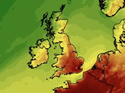
The West Midlands is set to experience a sharp and significant drop in temperatures next week as a severe cold snap descends upon the region.
A Week of Falling Mercury
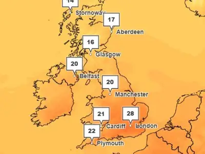
Residents in Birmingham and across the West Midlands should prepare for a pronounced cold blast arriving next week. Daytime temperatures will struggle, with highs reaching only around 8°C. The chill will intensify by Wednesday, when temperatures are forecast to fall to approximately 5°C.
The real bite will be felt overnight, particularly by the middle of the week. Thermometers are expected to dip to near or below freezing, with the coldest night predicted for Wednesday, where lows of 0°C are anticipated.

Rain, Showers, and Potential Snow
The week ahead will bring a mixed bag of weather conditions. Expect a combination of sunshine and rain, with a chance of overnight rain starting from Friday, 14th November. The risk of heavier showers is present early next week.
Looking further ahead to the final week of November, beginning 25th November, the forecast suggests even colder conditions, with temperatures potentially sinking to -1°C and -0°C. There is also the possibility of snow in areas like North Staffordshire.
Current Weather Warnings for Heavy Rain
This forecast for cold comes as the region deals with the aftermath of flash floods. A yellow weather warning for rain is active for Friday, 14th November.
The Met Office indicates that outbreaks of rain will develop through Thursday, 13th November evening and night. This rain is expected to become prolonged and heavy throughout Friday before slowly easing into Saturday morning, bringing a risk of further disruption.