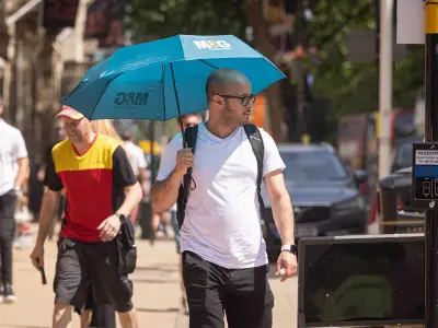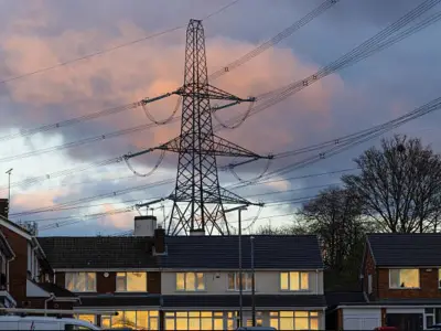
The West Midlands is bracing for a scorching spell as temperatures are forecast to hit 30°C in the coming days, prompting the UK Health and Security Agency (UKHSA) to issue a yellow heat-health alert. The warning came into effect at noon on July 4 and will remain in place until 8pm on July 11.
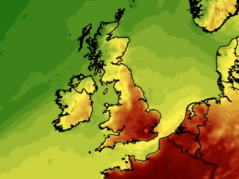
Temperature Forecast
The Met Office predicts highs of 29°C in Birmingham on Monday, July 6, and Wednesday, July 8. Weather maps from WXCharts indicate that parts of Staffordshire could reach around 30°C on Friday, July 10.
Met Office meteorologist Becky Mitchell said: “We have got a heatwave on the way across parts of southern England and Wales, temperatures are already quite high across the South East today, we could get 28°C in London.”

Regional Split
Mitchell added: “Elsewhere, it’s not as hot as we have got temperatures closer to average but they will climb as we go into next week. The northern areas of the country will be cloudier with spells of rain at times, so there’s a north/south split.”
She noted that highs of 29°C are expected in the south tomorrow, and by the start of next week, temperatures will approach the low 30s. The peak of the heat appears to be Thursday or Friday, with 34°C predicted in the South East.
Comparison to June Heatwave
Mitchell said: “By comparison to the heatwave we saw in June, this heatwave won’t be as hot and humid, but it will be a prolonged spell of hot weather which lasts around a week.”
Long-Range Forecast
The Met Office long-range forecast for July 8 to July 17 states: “High pressure will dominate across England and Wales into next week, likely extending its influence into the northern UK with time. This will bring dry and warm conditions with plenty of sunshine for much of England and Wales, but there is a chance of thunderstorms at times. Scotland and Northern Ireland will see more cloud at first, with periods of rain at times.”
Through next week, the high pressure may extend northwards to bring periods of drier and warmer weather to most of Scotland and Northern Ireland. Winds will be light to moderate for most, though stronger around northern hills and coasts near low pressure systems.
Temperatures are expected to become widely warm, perhaps locally hot in parts of the southeast, although not as hot nor humid as seen in the past week.
For July 18 to August 1, the Met Office says: “From mid July, high pressure is more likely than low pressure, probably bringing settled and drier conditions. Occasionally this dry and warm weather could be interrupted by outbreaks of rain and stronger winds, which will be more probable in the north or west.”
As typical for the time of year, there is a risk of heavy, thundery showers during any warm spells. These conditions are likely to persist through to the end of July, with unsettled interruptions perhaps becoming more common, but confidence at this range is low. In any case, temperatures are likely to be above average overall, with a greater than normal chance of hot conditions developing at times, especially in the south.