
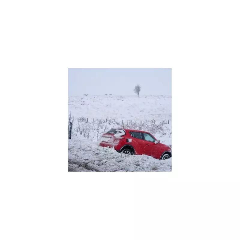
Britain is bracing for a dramatic festive weather shift, with forecasts warning a potential 'snow bomb' could deliver the first widespread white Christmas seen in England since 2010.
Met Office Forecasts a Chilly and Potentially White Festive Period
According to the latest update from the Met Office, issued on Thursday, December 18, high pressure is set to build over the UK next week. This will bring drier but notably colder conditions in time for Christmas Day, which falls on Thursday, December 25. Deputy Chief Forecaster Tom Crabtree stated that while temperatures will drop, they are not expected to plummet dramatically. However, the change will be felt.
"High pressure is expected to build into next week, bringing drier and less mild conditions for the Christmas period," Crabtree explained. "Although temperatures will drop, they are not plummeting. Overnight frosts are likely, and some mist and fog is possible in places."

Wintry Showers on the Cards for Eastern UK
The key development is the risk of snow. The forecast indicates that the falling temperatures create the potential for wintry showers, particularly in eastern and southern parts of the UK. These are more likely over high ground. The Met Office outlook from December 23 onwards describes a strengthening easterly wind that will make it feel "noticeably colder than of late."
"This will bring a strengthening easterly wind over the Christmas period, making it feel noticeably colder than of late," the forecast states. "Whilst there will be a fair amount of dry weather, a few showers will still be possible, particularly across eastern and southern parts which may be wintry in places."
A Rare Event Not Seen in Over a Decade
The prospect has sparked talk of a white Christmas, an event not seen widely across England since 2010. Forecasters note that while details for specific days remain uncertain, the overall pattern is shifting towards colder, more seasonal weather. Temperatures are expected to trend below average with a risk of frost, especially in northern areas where winds will be lighter.
Looking beyond Christmas, the Met Office suggests high pressure may move west towards the New Year, increasing the chance of wetter weather spreading into parts of the country. For now, all eyes are on the developing cold snap and the possibility of snow gracing the festive landscape for the first time in 15 years.


