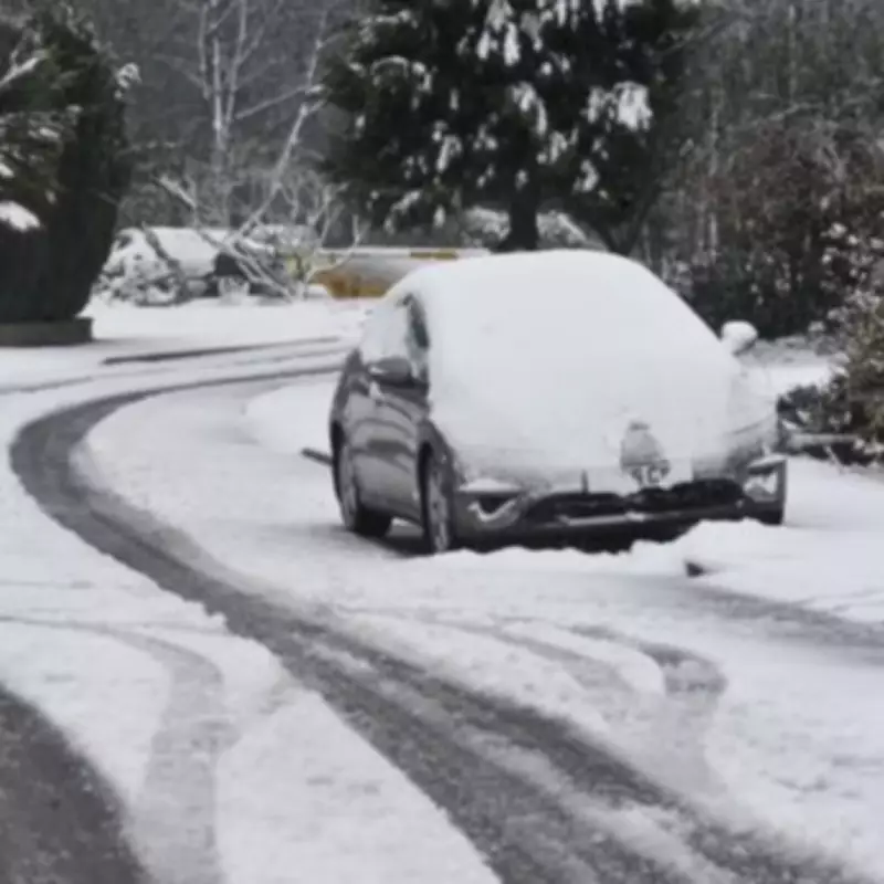
Three-Day Snow Bomb Targets 11 English Counties - Full List of Affected Areas
Advanced weather forecast maps indicate that a significant snow event, lasting a full 72 hours, is poised to impact the United Kingdom, with 11 English counties and numerous Scottish regions expected to bear the brunt of the wintry conditions.
Timeline of the Incoming Snow Event
According to detailed meteorological charts, the snowfall is projected to commence in the early hours of Thursday, February 12th. The initial band of snow will stretch from Scotland down into the northern regions of England.
By midnight on Friday, February 13th, the intensity is forecast to increase significantly, with advanced modelling suggesting snowfall rates could reach up to 10 millimetres per hour in the most affected areas.
The wintry conditions are expected to persist into Valentine's Day, Saturday, February 14th, with further patches of snow anticipated across Scotland. The forecast also indicates the potential for freezing rain, a relatively rare and hazardous weather phenomenon that can create treacherous travel conditions.
Regions and Counties at Risk
The areas forecast to be covered by this prolonged snow event are extensive. In England, the regions set to be impacted include:
- North East
- North West
- Yorkshire and the Humber
- West Midlands
This translates to the following counties being at particular risk:
- Cumbria
- Durham
- Northumberland
- Yorkshire
- Cheshire
- Staffordshire
- Westmorland
- Cumberland
- Derbyshire
- West Midlands
- Lancashire and Greater Manchester
In Scotland, the areas identified as likely to be affected encompass:
- Highlands
- Grampian
- Tayside
- Central
- Fife
- Argyll
- Strathclyde
- Lothian
- The Borders
- Dumfries and Galloway
Official Met Office Forecast and Outlook
The Met Office's forecast for the immediate period provides context for the evolving situation. For Friday, February 6th, the outlook states: "Mostly cloudy with showers or longer spells of rain moving northwards through the day. Some heavier bursts are possible, with hill snow in the north. A few sunny spells may develop, most likely across northwest Scotland. Windy."
Looking ahead to Friday night, the forecast adds: "Further outbreaks of rain are likely, especially in the north. Some clearer and drier spells may develop across the south, and with light winds, a few fog patches are possible."
The outlook for Saturday, February 7th, indicates: "Rather cloudy with showers or longer spells of rain, some heavy across parts of southwest England, Wales, and Northern Ireland. Persistent rain or drizzle across eastern Scotland. Temperatures near average."
Finally, the forecast for Sunday through Tuesday suggests: "Sunday brings a mix of showers and sunny spells. A cloudy start to the new week, with further light showers, before widely wet and windy conditions continue from the west."
Residents across the identified counties and regions are advised to monitor official weather updates closely and prepare for potential travel disruption and hazardous conditions associated with this prolonged snow event.


