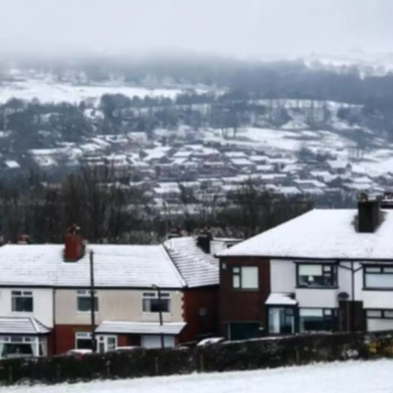
Extended Snowfall Warning Issued for Multiple Scottish Regions
The Met Office has escalated weather alerts across the United Kingdom, issuing yellow warnings for significant snowfall expected to persist for nearly two full days. The advisory period commences at midnight on Tuesday, February 3, 2026, and is scheduled to expire at 3pm on Wednesday, February 4, 2026, resulting in a continuous 39-hour span of wintry conditions.
Geographic Impact and Regional Forecast
This substantial weather event is concentrated exclusively in Scotland, with no English counties currently forecast to experience the snowfall. The eleven Scottish counties under the yellow warning include:
- Clackmannanshire
- Fife
- Aberdeenshire
- Moray
- Shetland
- Orkney
- Highland
- Argyll and Bute
- Dundee
- Stirling
- Angus and Perth and Kinross
This means areas like Birmingham and the wider West Midlands region will avoid the wintry precipitation according to current meteorological projections.
Meteorological Analysis and Expert Commentary
Weather experts have provided detailed analysis of the developing situation. Jo Farrow from Netweather TV explained the atmospheric dynamics: "There will be colder air edging in from Scandinavia during Tuesday, although milder air will begin to creep northwards. Over England and Wales, into County Down by Wednesday afternoon."
She elaborated on the Scottish conditions: "Whilst the cold air is over Scotland, there will be a change to a more wintry tone. After days of rain with snow just on the mountain tops (helping the Scottish ski resorts) a short surge of colder air will lead to a mix of icy rain, sleet and snow even at low levels."
Expected Accumulations and Potential Disruption
The forecast predicts substantial snow accumulation, particularly in elevated areas. Meteorological models indicate 10 to 20 centimetres of snow with drifting expected on high ground. More broadly, accumulations of 1-3 centimetres are anticipated above 100 metres, with some locations potentially receiving up to 5 centimetres.
For Shetland specifically, a separate yellow snow warning has been issued from late Tuesday into Wednesday as frontal precipitation moves northward. Ms Farrow noted: "Any wintry showers will turn to more persistent snowfall from Tuesday evening, continuing throughout Wednesday. With accumulations of a few centimetres, even to low levels expected across the Islands and more over the hills, disruption looks likely."
Additional Weather Considerations
The situation presents multiple hazards beyond simple snowfall. For northern mainland Scotland, strong winds are forecast to accompany the precipitation, potentially creating blizzard conditions and causing significant drifting of lying snow. Meanwhile, after a chilly night on Tuesday, the Pennines are expected to receive snow on their higher elevations during Wednesday.
Ms Farrow concluded her analysis: "The weather becomes brighter and drier for the southern half of the UK." This contrast highlights the regional nature of this weather event, with Scotland bearing the brunt while southern regions experience improving conditions.
Official Recommendations and Public Guidance
Meteorologists strongly encourage all residents in affected areas to maintain regular updates with the latest forecasts and remain vigilant about changing conditions. The Met Office emphasizes that while current projections show England escaping the snowfall, weather patterns can evolve rapidly, making continuous monitoring essential for public safety and preparedness.


