
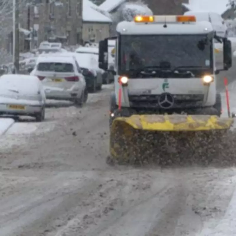
The Met Office has provided a comprehensive update on the weather conditions expected across the United Kingdom this Wednesday, pinpointing the specific regions that will be spared from a significant snow event. While a yellow weather warning is in effect for certain parts of Scotland, a total of 68 areas in England, Wales, and Northern Ireland are set to escape the anticipated snowfall entirely.
Weather Warning Details and Affected Regions
A yellow weather alert has been issued by the Met Office, active from midnight tonight until 11.59pm on Wednesday, February 11. This warning primarily targets isolated pockets within Scotland, including the Grampian region, the Highlands, and Aberdeenshire. Forecasters predict that these areas could experience accumulations of up to 10 centimetres of snow, leading to potential disruptions.
Areas Exempt from the Snow Warning
In contrast to the Scottish alerts, the Met Office has identified numerous regions that will not see any significant snow depths or flurries. According to the latest maps, all of England is coloured grey, indicating no expected accumulations. This encompasses a wide range of counties and metropolitan areas.

Northern and Central England: Areas such as Cumbria, Durham, Northumberland, Greater Manchester, Lancashire, Cheshire, the West Midlands, Staffordshire, Lincolnshire, and Shropshire are among those spared.
Eastern and Southern England: The list extends to Derbyshire, Nottinghamshire, Leicestershire, Oxfordshire, Cambridgeshire, Norfolk, Rutland, Suffolk, Worcestershire, Herefordshire, Northamptonshire, Bedfordshire, Hertfordshire, the Isle of Wight, Warwickshire, and Surrey.
Southwest England and Beyond: Completing the English exemptions are Berkshire, Wiltshire, Essex, Kent, Sussex, Greater London, Somerset, Gloucestershire, Devon, Dorset, Hampshire, and Cornwall.
In addition to England, all 22 counties in Wales will avoid the snow warning. Similarly, the six major counties of Northern Ireland are also set to escape, bringing the total number of unaffected areas to 68 across the UK.
Broader Weather Outlook for Late February
Looking ahead beyond Wednesday, the Met Office has provided further insights into the weather patterns expected as we move into the latter part of February. The forecast indicates that Atlantic low-pressure systems will dominate the vicinity of the UK, leading to showers or longer spells of rain across many regions.
Some of this rain is likely to be heavy, particularly over western hills, with occasional snow possible in northern areas, mainly confined to higher ground. There is also a possibility of strong winds at times, especially around coastal regions.
Temperatures are expected to remain near normal for this time of year. However, there is a chance that drier and more settled conditions may begin to develop later in the period, offering a respite from the unsettled weather.


