Major Snow Event Forecast to Hit Northern England Next Week
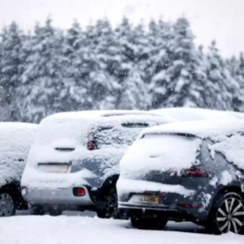
Thirteen counties across England are preparing for significant disruption as weather models predict a substantial snow event arriving next week. According to the latest data from WX Charts, a formidable band of snow stretching approximately 440 miles is expected to sweep across the country, bringing wintry conditions and potential travel chaos.
White-Out Conditions Predicted for Northern Regions
Detailed weather maps for Tuesday, February 3, indicate that areas north of Birmingham will bear the brunt of this incoming weather system. The visualisations show extensive white coverage representing snowfall, with temperatures potentially plummeting to -4°C in some locations. This forecast follows a brief period of drier weather, with meteorologists warning of a return to unsettled conditions.
Counties at Risk of Heavy Snowfall
The following English counties have been identified as being at particular risk from this developing weather system:
- Greater Manchester
- Lancashire
- Cheshire
- Staffordshire
- Shropshire
- The West Midlands conurbation
- Derbyshire
- Leicestershire
- Nottinghamshire
- Cumbria
- Northumberland
- Yorkshire
- Durham
Meteorological Analysis and Expert Commentary
Nick Finnis from Netweather TV provided context for the developing situation, stating: "Much of the UK has had a welcome dry respite yesterday and again today, however, there’s more rain on the way tomorrow and through the weekend. It looks like low pressure will be close by to the southwest next week too, bringing more rain."
Regarding precipitation levels, Mr Finnis added: "Rainfall amounts tomorrow and through the weekend are not generally looking anywhere near as high as those brought by Storm Chandra, perhaps 15-25mm across southern and western areas along with higher ground in the north of England, perhaps locally 30-40mm over high ground in the southwest."
Official Forecast and Weather Patterns
The Met Office forecast for the period beginning February 3 describes "largely unsettled weather" expected to commence, bringing showers or longer spells of rain for many areas. The forecast notes: "It may also be rather windy at times, especially towards the south west. Towards the northeast, colder conditions will remain nearby, with the risk of colder air pushing further south west at times, increasing the chance of snowfall."
The meteorological service further explained that while snow is more likely over high ground, some accumulation at lower levels could not be ruled out. Temperatures are expected to remain close to average for most regions, though northeastern areas may experience rather cold conditions. An often brisk wind will accentuate the colder feel, particularly for coastal districts.
Uncertainty in Longer-Range Forecast
As the forecast period progresses, confidence decreases regarding whether milder air from the southwest will dominate or if colder air from the east will move more substantially across the country. This uncertainty adds complexity to planning for the potential impacts of this weather system.
The combination of already saturated ground from recent rainfall and the forecast precipitation raises concerns about further flooding risks, particularly in areas that have already experienced flooding incidents. Residents across the affected counties are advised to monitor official weather updates and prepare for potential travel disruption as this significant snow event develops.


