
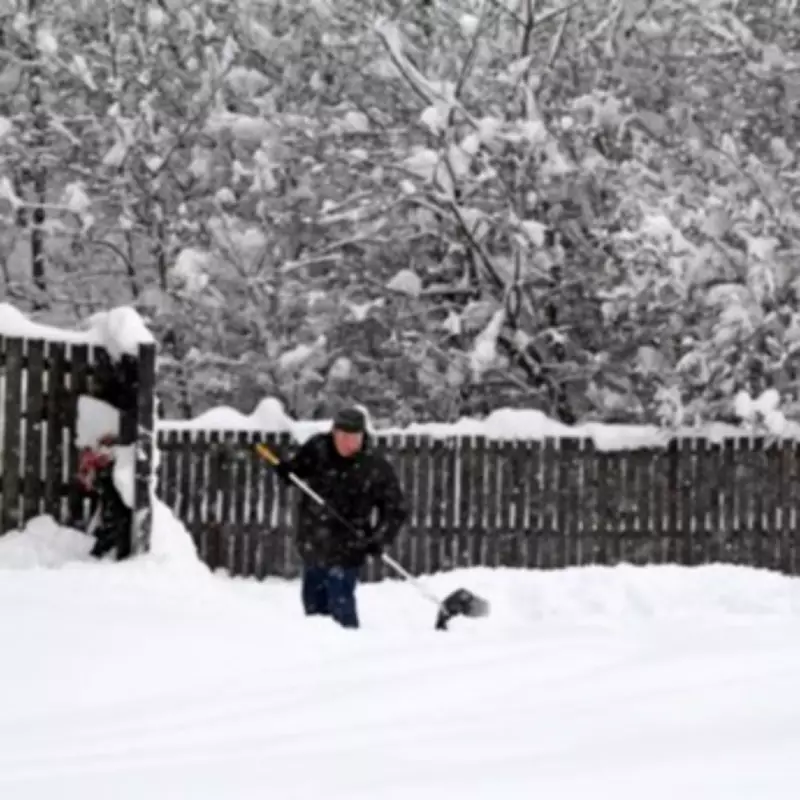
Widespread Snow Forecast to Hit Multiple English Regions This Friday
Meteorological services across the United Kingdom are issuing urgent warnings as fifteen English counties prepare for a substantial snow event this Friday, February 13th. Multiple forecasting agencies, including the Met Office, WX Charts, Ventusky, and Netweather TV, have all indicated that significant snowfall is imminent, with temperatures potentially plummeting to a biting -9°C in some areas.
Regions and Timings for the Anticipated Snowfall
The snowfall is expected to commence in the early hours of Friday morning, with initial flurries likely from around 6am. The precipitation is forecast to move across the country throughout the day, with the most intense activity expected to taper off by approximately 3pm. The geographical spread of this weather event is considerable, affecting counties from the north to the south of England.
Northern England is anticipated to bear the brunt of the heaviest snowfalls. Counties such as Cumbria, Durham, and Northumberland in the North East are forecast to experience the most significant accumulations. Yorkshire is also on alert for disruptive snow conditions.

Southern and Central Counties on High Alert
Further south, a dusting of snow is predicted for areas including the West Midlands conurbation. The southern counties are not exempt, with forecasts indicating flurries for the Home Counties, Greater London, and specific areas including Bedfordshire, Northamptonshire, Buckinghamshire, Berkshire, and Hertfordshire.
The full list of fifteen counties expected to be affected encompasses:
- Greater Manchester
- Lancashire
- Staffordshire
- The West Midlands conurbation
- Oxfordshire
- Cumbria
- Durham
- Northumberland
- Yorkshire
- Bedfordshire
- Northamptonshire
- Buckinghamshire
- Berkshire
- Hertfordshire
- Greater London
Broader Weather Outlook and Context
In a broader monthly outlook, Netweather TV has provided additional context, suggesting that mean temperatures for the week are likely to be 1 to 2°C below the 1991-2020 long-term average for most regions, and by around 3°C in inland parts of Scotland. The forecast indicates a pattern of drier conditions in western Scotland but wetter than normal weather over most of England and Wales, particularly in southern and eastern England.
The Environment Agency has reiterated the need for public vigilance regarding flood risks, especially with further bands of rain expected. This warning comes amidst a notably wet winter period, with data from the Met Office showing significant rainfall totals in regions like south-west England and south Wales during December 2025 and January 2026.
Residents across the fifteen identified counties are advised to monitor official weather updates, prepare for potential travel disruption from the early morning onwards, and take necessary precautions for the cold conditions accompanying the snow.


