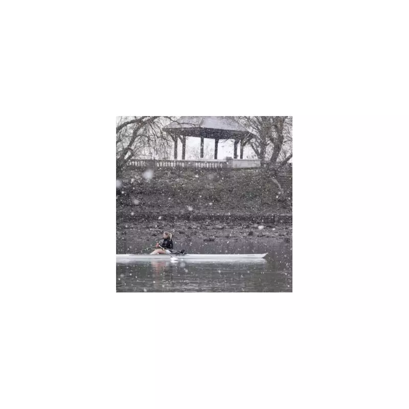
The Met Office has issued a series of significant weather warnings, with vast swathes of England bracing for daily snow flurries that are set to continue until the weekend. According to the latest forecasts, only 16 specific areas in the country are expected to be spared from the wintry showers.
Widespread Warnings and the Spared Regions
Yellow weather alerts are in force for England from Thursday, January 8, through to Saturday, January 10. An amber warning has also been issued for certain areas, indicating a higher level of potential disruption. This persistent wintry spell means that Sunday, January 11, is predicted to be the first day without snow flurries.
The regions likely to avoid the snow include the South West, South East, Home Counties, East Anglia, the North West and the North East. Maps indicate that the Midlands will be particularly badly hit, alongside areas of both south and north Wales.
The specific 16 places escaping the flurries are:
- Cornwall
- Devon
- Dorset
- Hampshire
- Sussex
- Surrey
- Greater London
- Essex
- Norfolk
- Suffolk
- Yorkshire
- Greater Manchester
- Lancashire
- Durham
- Northumberland
- Cumbria
Met Office Forecast: Deep Low Pressure Brings Snow and Wind
The Met Office has detailed the incoming system, stating: "A deep area of low pressure will move across the south of the UK during Thursday and into Friday bringing a mixture of rain, snow and strong winds."
The forecast explains that a spell of heavy snow is likely over higher ground in south Wales from Thursday afternoon, before rain turns to snow more widely across parts of England and Wales overnight. Accumulations of 5-10cm are expected in some areas, with up to 20cm possible on higher ground. Strong winds may cause drifting snow before the precipitation clears eastwards on Friday.
This system has been named Storm Goretti by Meteo France, as the strongest winds are anticipated over northern France.
Midweek Conditions and Ongoing Disruption
Looking at conditions for Wednesday, Netweather TV indicated showery rain would clear from the south, leaving a mix of sunny intervals and scattered showers. Netweather's Terry Scholey noted in a blog post that while temperatures may be less cold, a north-westerly wind would make it feel otherwise.
"Many of the showers still wintry, especially in the north and east of Scotland, giving further accumulations here and on hills further south," Scholey said. He added that Northern Ireland and the South West might see fewer showers, but another front could bring rain later, with snow probable over the Mourne Mountains and hills of Derry. Top temperatures for most are expected to be between 2 to 7C, with a slow thaw of lying snow at lower levels.
The combination of snow, wind, and ice is likely to cause travel disruption across many parts of the UK throughout the week, with drivers and pedestrians urged to take extra care and check the latest forecasts before heading out.


