
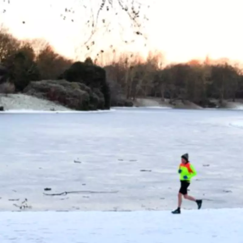
A significant snow storm, dubbed a 'snow bomb' by forecasters, is set to strike the United Kingdom with potentially severe impacts. The weather event is predicted to make landfall in both England and Scotland, commencing from 6am on Thursday, February 12, 2026.
Forecast Details and Expected Accumulations
Advanced meteorological modelling, based on the GFS system and visualised by WX Charts, indicates that the snowfall will be particularly intense. In the Scottish Highlands, accumulations could reach a staggering 26 inches (approximately 66 centimetres) within a single day. Major urban centres are also expected to be heavily affected.
Regional Impact Across Scotland
The forecast suggests that up to 90 percent of Scotland, north of the border, will be blanketed by wintry conditions. Key cities such as Glasgow, Edinburgh, Dundee, and Aberdeen are all anticipated to face significant flurries. The heaviest snowfall is projected for the Cairngorms National Park, with major towns like Glasgow potentially seeing up to 20 inches of accumulation.

Conditions in Northern England
Further south, the picture becomes more mixed. While much of England is likely to experience heavy rainfall instead of snow, the North East of England is not exempt from the wintry blast. Areas including Cumbria, Northumberland, and Durham could be the worst-hit regions in England, with snowfall possible from 6am until 9pm on February 12.
Duration and Potential Disruption
The predicted snowfall window, lasting from 6am to 9pm, represents a continuous 15-hour period of wintry weather. This prolonged event raises serious concerns about travel disruption and community standstills, particularly in the most affected areas of Scotland and northern England. Meanwhile, the North West and Midlands of England are bracing for heavy deluges of rain, which could lead to localised flooding.
Expert Analysis and Outlook
Issuing his verdict on the situation, James Madden from Exacta Weather provided further context. He stated that despite milder temperatures expected in the south over the weekend, sporadic and light snow showers could still form in parts of northern and central England during the preceding Friday and Saturday. For Scotland and the far north, he described wintry weather and snow as remaining an 'almost continuous feature' for much of the upcoming weekend period.
This forecast underscores the significant weather event approaching the UK, with communities advised to prepare for potential travel delays, school closures, and the need for precautionary measures during the snowfall.


