
Major Winter Storm Set to Blanket England with Snow in Mid-February
A substantial winter weather system is predicted to sweep across the United Kingdom, bringing significant snowfall to numerous English counties from the middle of February. According to detailed weather mapping, thirty-five counties could experience snow accumulation, with the Midlands region specifically highlighted for potential impacts.
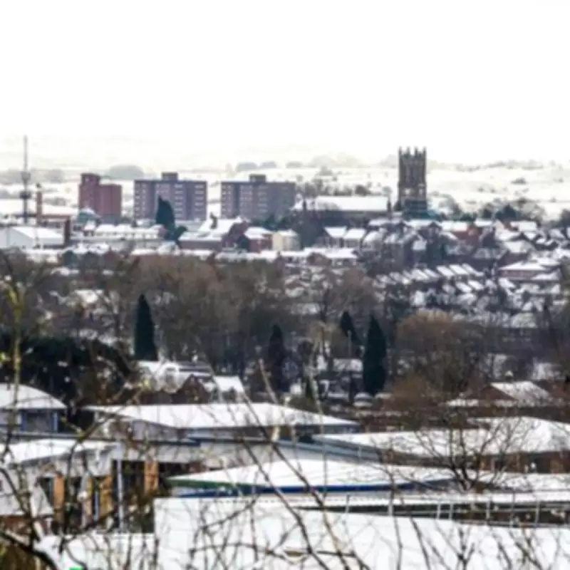
Three Midlands Counties Named on Snow Alert List
Weather experts have identified Staffordshire, Derbyshire, and Warwickshire among the counties facing potential snow disruption. These areas, along with many others across England, are preparing for what forecasters describe as a "blanketing" of snow following the middle of February. The predicted weather pattern suggests a combination of snow and rain moving across the country.
Timeline and Geographic Spread of Predicted Snowfall
Current weather models indicate the system will approach from the Atlantic, reaching western Britain during the morning of February 17th. Throughout the day, cities across the country may experience a mixture of rain and snow. By 6pm, forecast maps suggest a heavy cloud system will cover much of the UK, with snow potentially spanning from southern coastal areas like Southampton all the way to northern Scotland.

The most significant snowfall accumulations are predicted for northern England, where some regions between Cumbria and Northumberland could see up to 33cm of snow by evening. South Wales may experience substantial accumulation of around 25cm, while southern coastal areas like Southampton could receive approximately 14cm. Scotland's forecast appears slightly milder with single-digit snowfall predictions.
Temperature Drops and Hazardous Conditions Expected
Alongside the snowfall, meteorologists warn of dramatically falling temperatures that could create hazardous conditions. Early Tuesday morning may see extreme lows reaching -10°C in Cumbria, with London potentially dropping to -5°C. The majority of Wales could experience temperatures as low as -7°C, while Glasgow may dip to -5°C.
These freezing conditions combined with precipitation could create particularly dangerous driving conditions, with ice and reduced visibility posing significant risks to travelers.
Weather System Movement and Follow-up Conditions
The substantial weather barrage is forecast to move across the UK throughout February 17th, eventually heading toward the North Sea by midnight. While the main system will depart, scattered rain showers may persist for several following days. Some weather models suggest a slight respite might occur around February 20th, though conditions remain uncertain.
Official Weather Service Perspective
The Met Office's long-range forecast presents a somewhat different picture, though it acknowledges that "some snow is likely" especially where colder air masses filter south or east into the UK. The national weather service notes that southern and western areas remain "most prone to seeing the wettest conditions," which could maintain sensitivity to further flooding impacts.
Additionally, the Met Office suggests that parts of northeast Britain may experience wetter than normal conditions during this period, indicating varied weather patterns across different regions.
Complete List of Potentially Affected English Counties
The thirty-five English counties that could face snow according to current forecasts include:
- Bedfordshire
- Berkshire
- Buckinghamshire
- Cambridgeshire
- Cheshire
- Cumberland
- Derbyshire
- Durham
- Essex
- Gloucestershire
- Hampshire
- Herefordshire
- Hertfordshire
- Huntingdonshire
- Kent
- Lancashire
- Leicestershire
- Lincolnshire
- Middlesex
- Norfolk
- Northamptonshire
- Northumberland
- Nottinghamshire
- Oxfordshire
- Rutland
- Shropshire
- Staffordshire
- Suffolk
- Surrey
- Sussex
- Warwickshire
- Westmorland
- Wiltshire
- Worcestershire
- Yorkshire
Residents across these areas are advised to monitor weather updates closely and prepare for potential travel disruption and cold conditions as February progresses.


