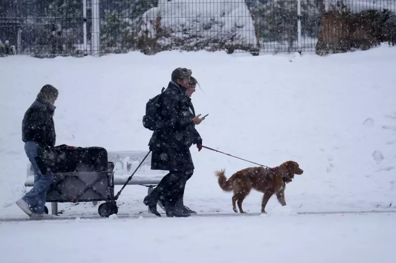
The Met Office has escalated weather warnings for the West Midlands, issuing a serious amber alert for heavy snow that is forecast to cause significant disruption later this week.
Timeline and Expected Impact of the Snow
The warning is in effect for a 13-hour period from 8pm on Thursday, January 8, until 9am on Friday, January 9, 2026. Forecasters state that accumulations of 10 to 15 centimetres (4 to 6 inches) are 'likely' across many areas, with the potential for deeper drifts on higher ground.
This severe weather is associated with Storm Goretti. The Met Office explains that rain will turn readily to heavy snow on Thursday evening, initially on hills before spreading to lower levels overnight. The snow is then expected to ease through Friday morning.

Areas at Greatest Risk and Potential Hazards
While Birmingham and the wider West Midlands region are covered by the amber warning, the highest accumulations are predicted for elevated areas. The Met Office specifically highlights the potential for 20 to 30 cm (8 to 12 inches) of snow in some locations, mainly on hills above 200 metres in elevation, particularly in parts of Wales and the Peak District.
The primary concern is dangerous travelling conditions. The heavy snow is predicted to lead to:
- Lengthy travel delays on roads, including on motorways like the M5 and M6.
- Stranded vehicles and passengers.
- Possible cancellations to rail and air travel.
- Rural communities becoming cut off temporarily.
- Power cuts and interruptions to other services.
Public Advice and Looking Ahead
Residents across the West Midlands are being urged to prepare for the severe conditions. The public should consider altering travel plans for Thursday night and Friday morning, allowing extra time for journeys if they are essential.
It is also advisable to check on vulnerable neighbours and ensure you have essential supplies to hand. The amber warning signifies an increased likelihood of severe weather impacting daily life, and the public is advised to stay updated with the latest forecasts from the Met Office as the situation develops.