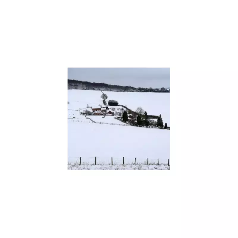
Britain is preparing for a significant winter weather event, with forecast models predicting a potential five-inch snowstorm that could strike as early as January 4. A major wintry shift is expected to bring disruptive conditions, particularly across a swathe of England.
Counties Facing the Highest Risk
According to data from WX Charts, a string of counties are identified as being most at risk from the heavy snowfall. The modelling indicates that the East Coast of England, East Anglia, Wales, and parts of Cornwall will be in the firing line.
The areas highlighted for the most significant impact include:

- Norfolk
- Suffolk
- Kent
- Essex
- Cornwall
- Cumbria
- Durham
- Northumberland
- Lincolnshire
- Yorkshire
- Tyne and Wear
- Cumberland
- Westmorland
In the Northeast, regions including Durham and Cleveland could see intense snowfall, with projections suggesting an inch of snow accumulating every hour from the start of January 4.
Official Forecasts Turn Colder
The Met Office has confirmed a colder turn for the start of the new year. Its forecast states: "Turning colder for the start of the new year. Most places dry today with patchy cloud and sunny spells. A few showers are possible in southwest England and eastern coastal counties."
It warns of clear skies and light winds leading to temperatures falling rapidly, resulting in a widespread frost and possible freezing fog patches.
Looking ahead to the middle of the week, the outlook becomes more severe. The Met Office adds for the period Thursday to Saturday: "Turning very cold over the coming days. Snow showers will be frequent in Scotland, and gradually spread further south through the week. Sunny for many. Severe frosts and ice overnight."
BBC Weather Echoes Wintry Warnings
The BBC's forecast aligns with the chilly predictions. It notes that after some cloud breaks on Tuesday, it will turn "clear and cold for most" overnight.
For New Year's Eve, the Beeb predicts a "dry and bright" day for many with "wintry sunshine for the south and east." However, the broadcaster signals the impending change, with cloudier conditions and showers developing along Scotland's northern and western coasts, heralding the colder air's arrival.
This combination of meteorological guidance underscores a sharp transition into a bitterly cold and potentially snowy period for the UK in the first week of January, with residents in the named counties advised to stay updated on warnings and prepare for possible travel disruption.