The Met Office has released a comprehensive five-day weather forecast for the United Kingdom, highlighting the return of wintry conditions with the potential for snow showers later this week. Forecasters have specifically named regions at risk, indicating that unsettled weather patterns could bring significant changes across the country.
Detailed Five-Day Forecast Overview
According to the latest update from the Met Office, the weather outlook from Monday through Friday promises a mix of grey skies, rain, and eventual colder temperatures. On Monday, February 9th, many areas experienced a dull start with persistent outbreaks of rain and drizzle. Conditions remained largely cloudy throughout the day, although some brighter intervals were possible in certain regions.
Heavy Rain and Flooding Risks
The forecast warned of heavy rain and strong winds pushing into the southwest, raising concerns about potential flooding in vulnerable areas. Despite the damp conditions, temperatures in the southern parts of the UK were described as rather mild for this time of year.
Moving into Monday night, cloudy skies persisted for most of the country, with further episodes of rain expected. The heavy rain and strong winds that affected the southwest gradually eased, but damp conditions remained widespread.
Tuesday's Weather Patterns
The outlook for Tuesday, February 10th, suggested another dull beginning with continued outbreaks of rain and drizzle. A spell of heavy rain was forecast to move into southern regions, followed by periods of sunshine and showers. Elsewhere, conditions stayed predominantly cloudy and damp, maintaining the unsettled theme.
Snow Alert for Wednesday to Friday
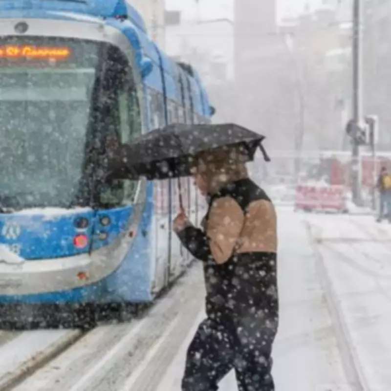
The most significant development in the forecast concerns the period from Wednesday through Friday. The Met Office has explicitly named two specific areas at risk of snow showers: the north of England and the east of England. Forecasters indicated that conditions would remain unsettled initially, with further outbreaks of rain affecting many regions.
However, a notable change is expected by Friday, as temperatures turn colder and skies become brighter. This shift increases the likelihood of snow showers, particularly targeting the northern and eastern parts of England. The Met Office statement emphasised: "Staying unsettled at first with further outbreaks of rain for many. Turning colder and brighter on Friday with a chance of snow showers, particularly in the north and east."
BBC Weather Forecast Comparison
Complementing the Met Office predictions, the BBC Weather forecast for Monday described a largely cloudy day with spells of rain pushing northwards. Some bright spells were anticipated to develop in the afternoon towards southern areas. The BBC also noted heavier rain advancing from the south-west during the afternoon hours.
For Monday night, the BBC forecast predicted largely cloudy conditions with spells of rain in the west and northeast, which could fall heavily at times. Patchy light rain was expected in the south and east, while clear spells might develop in the far north-west.
This coordinated weather information from both the Met Office and BBC underscores the importance for residents in affected regions to stay informed about potential travel disruptions and cold weather preparations as the week progresses.


