
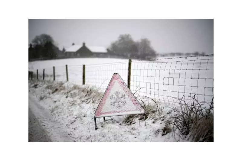
The Met Office has issued a yellow weather warning for ice across Birmingham and the wider West Midlands region, signalling a return to wintry conditions that could disrupt travel and daily activities.
Warning Details and Timing
The warning is specifically in place from midnight tonight until 10am on Wednesday morning, January 28th. During this period, patchy ice is expected to form on untreated surfaces, which may lead to some disruption, particularly for early morning commuters and pedestrians.
Expected Weather Conditions
Despite the ice warning, Wednesday is forecast to be largely dry and bright, with some sunny spells breaking through the clouds. Temperatures are predicted to reach a maximum of 8°C, feeling more pleasant out of the southerly breeze, although an isolated shower is possible in western parts of the region.

Outlook for the Rest of the Week
The weather is set to remain rather unsettled as the week progresses into the weekend. From Thursday to Saturday, conditions will often be cloudy with periods of rain at times, and it will stay breezy initially. This pattern suggests that residents should remain cautious and prepared for changing conditions.
Travel disruption is anticipated due to the ice, so it is advisable for people in Birmingham and the West Midlands to take extra care on roads and pavements during the warning period. Staying updated with the latest forecasts from the Met Office can help mitigate any potential risks associated with these wintry returns.


