
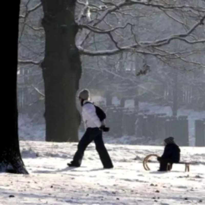
Met Office Extends Snow Warning to 16 Additional UK Areas Before Thursday
The Met Office has escalated its weather alerts by naming 16 more areas in England and Wales that are now facing the threat of snow and ice. This development comes as the national weather service issues a yellow weather warning, which is set to take effect from 6pm on Tuesday, February 3, and will persist until 9am on Wednesday, February 4.
Details of the Weather Warning
The warning specifically highlights that "snow and ice could bring some disruption, especially to travel". Residents and commuters in the affected regions should prepare for potential impacts on road, bus, and train services, with longer journey times anticipated. Additionally, there is an increased risk of injuries due to slips and falls on icy surfaces, as untreated roads, pavements, and cycle paths may develop hazardous icy patches.
Affected Areas and Expected Conditions
The newly added areas under the warning include:

- Derbyshire
- Durham
- Cheshire East
- Cumbria
- Greater Manchester
- Lancashire
- Conwy
- Denbighshire
- Flintshire
- Gwynedd
- Powys
- Wrexham
- Staffordshire
- North Yorkshire
- South Yorkshire
- West Yorkshire
According to the Met Office, outbreaks of rain, sleet, and snow are expected to move northwards over mid and north Wales and northern England during Tuesday evening and Wednesday morning. Snow accumulations are predicted to be in the range of 1-3 cm, primarily above elevations of around 200 metres, though lower areas might see occasional centimetre-level accumulations.
Additional Risks and Forecast Insights
The warning also notes a chance of transient freezing rain over higher ground, which, while unlikely in any single location, could significantly increase the ice risk. The sleet and snow are forecast to clear from the south through Wednesday morning, providing some relief.
In related weather commentary, BBC Weather forecaster Chris Fawkes remarked on the broader context, stating, "The threat of more heavy rain with localised flooding in southern England and eastern Scotland where hill snow is also likely at times." He added that weather patterns are expected to shift during the second half of February, highlighting the irony of ongoing hosepipe bans in parts of southern England despite the current wet conditions.
This expanded warning underscores the importance for residents in the listed areas to stay informed and take necessary precautions to ensure safety during this period of adverse weather.


