
The Met Office has issued a severe weather warning for 26 areas across the UK, as a rare and dangerous phenomenon known as 'freezing rain' threatens to coat roads and pavements in a layer of invisible black ice.
What is Freezing Rain and Why is it So Dangerous?
Forecasters have confirmed an "extremely hazardous" event is unfolding on Sunday, 11 January 2026. In the wake of Storm Goretti, a new band of precipitation is moving eastwards. The critical danger comes from freezing rain, where liquid droplets become supercooled as they fall through freezing air.
These droplets then freeze instantly upon hitting any cold surface, creating a transparent glaze of ice. This black ice is exceptionally difficult for both drivers and pedestrians to see, making it a severe threat to public safety.

Widespread Warnings and Expected Impacts
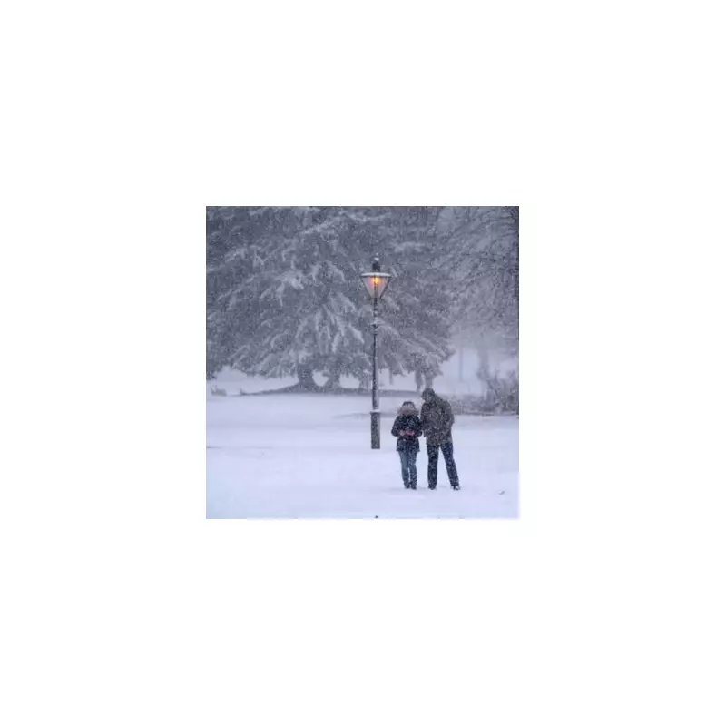
A yellow weather warning for snow and ice is active from 2am until 2pm today. It covers vast swathes of Scotland, Northern England, and parts of the Midlands. The highest risk of freezing rain is expected for a few hours after dawn across the eastern parts of the warning zone.
Significant snowfall will accompany the ice threat. While lower levels may see 2cm to 5cm, higher ground above 200 metres in Northern England and Scotland could receive 10cm to 20cm, with up to 30cm possible on the highest peaks.
The weight of the ice itself presents a secondary hazard. Authorities warn the glaze could be heavy enough to bring down tree branches and power lines, potentially causing further outages in areas still recovering from Storm Goretti.
Travel Chaos and Health Alerts Issued
Major travel disruption is highly likely. National Rail and airlines including Jet2 and Ryanair are warning of delays and cancellations. Motorists are being urged to avoid all but essential journeys in affected regions, as braking on the "ice rink" conditions can become nearly impossible.
In tandem with the weather warnings, the UK Health Security Agency (UKHSA) has maintained an amber cold health alert for all of England until 12pm on Monday, 12 January. This highlights the increased risk to vulnerable groups, especially the over-65s, as temperatures linger near or below freezing.
Forecasters predict a rise in temperatures from the west later on Sunday afternoon. However, this brings a new risk: the combination of a sudden thaw and further heavy rain could lead to localised flooding in parts of Scotland and Northern England.
The list of affected regions under the ice alert includes:
- Central, Tayside & Fife
- Grampian and the Highlands
- North East England
- North West England
- Yorkshire
Major cities such as Newcastle, Durham, and Sheffield are within the warning area, while Birmingham remains under a separate amber warning for snow.


