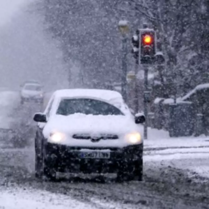
Midlands Snow Alert: Significant Accumulation Expected on February 16
Weather forecasters have issued a detailed warning for substantial snowfall across the Midlands region, with specific areas identified as facing up to 4cm of accumulation. According to the latest meteorological data, the precise date for this significant weather event has been confirmed as Monday, February 16.
Detailed Weather Mapping Reveals Extensive Coverage
Maps from the forecasting service WX Charts, which utilises data from Met Desk, clearly illustrate the extensive area of Britain that will be affected by this incoming snow system. The visualisations show a substantial white sheet of precipitation covering Scotland entirely and extending southwards, reaching as far as Lincolnshire.
Across the Midlands, numerous counties are at risk of experiencing flurries that will blanket a wide swathe of central England. The meteorological charts indicate that this weather pattern will bring notable winter conditions to the region, with accumulations that could impact travel and daily activities.
East Midlands Identified as Primary Risk Zone
The counties facing the most significant risk from this weather system are Nottinghamshire and Derbyshire in the East Midlands, where forecast models predict potential accumulations reaching 4cm. This level of snowfall could affect numerous towns and urban centres across these areas.
Affected locations include:
- Matlock and Buxton
- Swadlincote and Derby
- Nottingham and Mansfield
- Newark-on-Trent and Worksop
- Beeston and Retford
- Sutton-in-Ashfield and Kirkby-in-Ashfield
- Arnold
Broader National Weather Context
Beyond the Midlands, the weather system is expected to affect numerous northern counties including Northumberland, Cumbria, Durham, Tyne & Wear, and North Yorkshire. Additional areas facing potential flurries include Lancashire, Merseyside, West Yorkshire, East Riding of Yorkshire, South Yorkshire, Cheshire, and Lincolnshire.
Netweather TV meteorologist Jo Farrow has provided additional context regarding the broader weather patterns affecting the UK. "Northern Britain will continue to see wet and wintry weather on Wednesday," Farrow noted in her short-term forecast. "Exposed counties of Northern Ireland will also see a grey and damp midweek."
Farrow further explained that behind the warm front, cloud cover will lift with brighter skies emerging, though scattered showers are expected for South West England this afternoon with heavier precipitation anticipated tonight as a small low-pressure system approaches.
Atlantic Weather Systems Influencing UK Conditions
The meteorologist also referenced larger weather systems developing in the Atlantic, noting that the Portuguese meteorological service IPMA has named a significant low-pressure system 'Leonardo.' While this system is not expected to bring stormy conditions directly to the UK, it continues to influence weather patterns across Western Europe.
"This low has helped to steer more and more rain towards Iberia," Farrow explained. "It will not bring stormy conditions to the UK but with further bands of rain this week, the risk of flooding continues."
Residents across the Midlands are advised to prepare for potentially disruptive winter weather conditions on February 16, with particular attention needed in Nottinghamshire and Derbyshire where the heaviest accumulations are forecast.


