
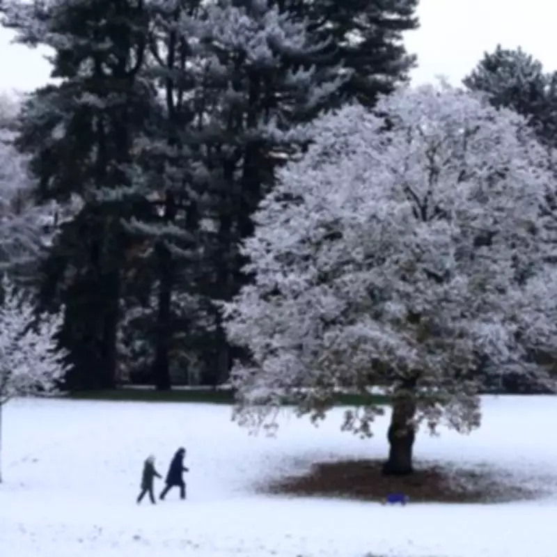
Met Office Issues Snow Warning for Midlands Towns: Up to 15cm Expected
The Met Office has issued a significant snow and ice warning affecting three counties in the Midlands region of England. The warning is set to be in effect from 9pm on Saturday, February 14, 2026, until 10am on Sunday, February 15, 2026. This alert highlights the potential for heavy snowfall, which may cause considerable disruption to travel, particularly over elevated terrain during the overnight and early morning hours.
Affected Areas and Expected Snowfall
The counties included in the warning are Derbyshire, Nottinghamshire, and Staffordshire. According to Met Office maps, these areas are expected to experience snow flurries, with major towns at risk including:
- Derby
- Nottingham
- Stoke
- Stafford
- Leek
- Uttoxeter
- Matlock
- Buxton
- Swadlincote
- Cannock
- Tamworth
- Lichfield
- Rugeley
The Met Office forecasts that 3-7 cm of snow is possible above approximately 150 meters elevation, with the potential for 10-15 cm above 400 meters. This significant accumulation could lead to hazardous conditions on roads and pathways.

Regions Spared from the Warning
In contrast, several regions have been spared from the snow warning. These include the West Midlands, Shropshire, and Worcestershire. Consequently, towns such as Coventry, Warwick, Leamington, Birmingham, Solihull, Wolverhampton, Dudley, Bilston, West Bromwich, Sutton Coldfield, and Halesowen are expected to escape the heaviest snowfall.
Expert Forecasts and Warnings
Met Office Chief Forecaster, Rebekah Hicks, provided detailed insights into the weather system. "Snow is likely ahead of the rain across northern England and Scotland and could reach lower levels at times Saturday night into Sunday," she stated. "The snow will gradually turn to rain as the front moves east across the country on Sunday. The rain may be heavy at times and it will be windy in coastal areas. Additional warnings may be required. We encourage the public to keep up to date with the latest forecasts and any warnings that may be issued."
Adding to the forecast, Exacta Weather meteorologist James Madden commented on the developing situation. "So much for NO snow past central England this week and an incorrectly termed 'rain bearing low' for the weekend," he remarked. Madden elaborated that models show intensifying snow developments from late Saturday into Sunday, potentially becoming severe across large swathes of the country, including lower levels from central England and Wales upwards.
He further noted, "Snow is currently starting to form and fall and is currently visible across parts of north-east England and Yorkshire and across higher ground in parts as far south as Stafford already... These will also become more extensive and heavier even to lower levels... in some large parts of northern and central England and Northern Ireland over the 'next several hours' and into tomorrow." Madden emphasized that this precedes an even larger snow event expected from late Saturday into Sunday for both the UK and Ireland.
Preparedness and Safety Advice
Residents in the affected areas are advised to take necessary precautions. Travel plans should be reconsidered, especially for journeys through higher ground. It is crucial to stay informed with the latest weather updates from the Met Office and local authorities. Ensuring vehicles are winter-ready and having emergency supplies on hand can help mitigate risks associated with the anticipated snowfall.
The combination of snow and ice poses significant challenges, and the public is urged to exercise caution during this period. By heeding official warnings and preparing adequately, communities can better navigate the disruptive weather conditions forecast for the weekend.


