
The Met Office has escalated weather alerts by issuing a significant yellow warning for snow and ice, targeting twenty-three specific areas across England. This advisory is scheduled to be in effect from 7pm on Thursday, February 12th, persisting for a duration of seventeen hours before its anticipated lift at midday on Friday, February 13th.
Detailed Forecast and Expected Impacts
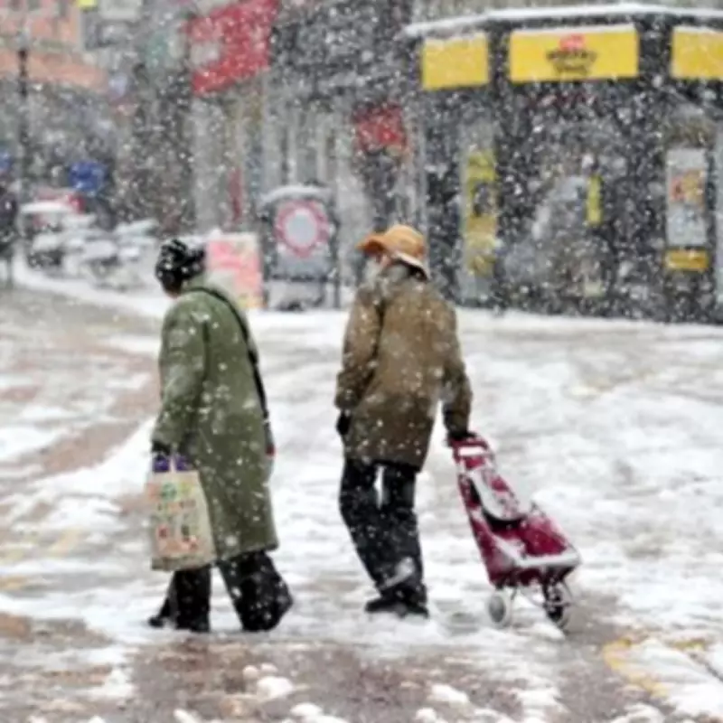
Meteorologists are forecasting outbreaks of rain, sleet, and snow, which are likely to result in the formation of icy surfaces and contribute to some level of travel disruption. The public is advised to exercise caution due to the associated risks.
Primary Hazards and Precautions
The warning highlights several key concerns that residents and commuters should be aware of:

- Injury Risk: An increased likelihood of injuries from slips and falls on icy pavements and untreated surfaces.
- Transport Issues: Icy patches are probable on some untreated roads, pavements, and cycle paths, potentially affecting road safety.
- Travel Delays: Roads and railways are likely to experience disruptions, leading to longer journey times for road, bus, and train services.
Weather Progression and Snowfall Predictions
The meteorological pattern indicates that initial outbreaks of rain will transition to snow over higher hills during Thursday evening, gradually descending to lower levels as the night progresses. In terms of accumulation:
- Settling snow is expected to be mainly confined to high ground above 200 metres, with accumulations of 2 to 5 centimetres possible.
- At elevations above 300 metres, a few locations could see as much as 10 centimetres of snow.
The rain and snow are forecast to clear southwards during the early hours of Friday. Following this clearance, temperatures are predicted to fall rapidly under clearing skies, which will likely lead to ice forming on any untreated surfaces, extending the hazard period.
Broader Weather Context and Regional Outlook
Chris Fawkes, a meteorologist from the BBC, provided additional context, noting that while rain is typical for winter, the wettest weather is expected to return to west Scotland, with less extreme conditions in east Scotland. For the southwest of England, the forecast suggests a mix of weather systems, implying there will be drier and sunnier intervals between the wet spells.
Looking further ahead towards the end of February, there are early indications that an area of high pressure may develop, potentially bringing more settled and stable weather conditions to the region. This prospect offers a respite from the persistently wet and dull conditions experienced in recent weeks, though it remains a tentative long-range forecast.
Full List of Affected Areas
The yellow warning for snow and ice specifically applies to the following twenty-three parts of England:
- Derbyshire
- Darlington
- Durham
- Gateshead
- Hartlepool
- Middlesbrough
- Newcastle upon Tyne
- North Tyneside
- Northumberland
- Redcar and Cleveland
- South Tyneside
- Stockton-on-Tees
- Sunderland
- Cheshire East
- Cumbria
- Greater Manchester
- Lancashire
- Staffordshire
- East Riding of Yorkshire
- North Yorkshire
- South Yorkshire
- West Yorkshire
- York
Residents in these regions are strongly encouraged to stay updated with the latest Met Office announcements and to plan their travel accordingly to mitigate risks during this period of adverse weather.


