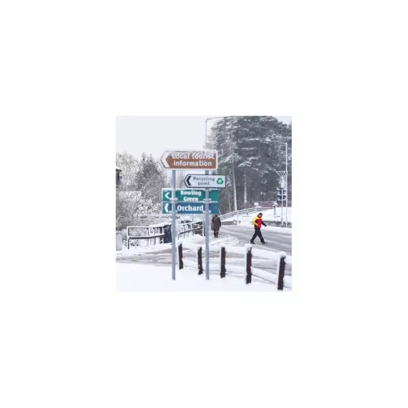
The Met Office has extended its weather warnings, with two more English counties now bracing for snow and ice. A fresh yellow weather warning has been issued, bringing Norfolk and Suffolk into the fold of disruptive wintry conditions.
Warning Details and Timing
The new alert for the east of England is active from 5pm on Wednesday and remains in place until 11am on Thursday. The forecaster warned that "Wintry showers bringing a risk of ice may lead to some disruption on Wednesday night and Thursday morning."
Wintry showers are expected to feed inland throughout Wednesday evening, overnight, and into Thursday morning. As temperatures drop, the Met Office indicated that snow may begin to settle, leading to accumulations of 1-2 cm in some places, while ice is likely to form on untreated surfaces.

Expected Impacts and Disruption
The public is being advised to prepare for potential travel chaos. The Met Office outlined what to expect, stating: "Some roads and railways likely to be affected with longer journey times by road, bus and train services."
Furthermore, there is a high probability of "icy patches on some untreated roads, pavements and cycle paths," which increases the risk of "some injuries from slips and falls on icy surfaces."
Broader UK Weather Outlook
The general forecast for the country describes an "icy start for some," with rain and hill snow clearing southeastwards through Thursday morning. The outlook promises drier and brighter conditions later with sunny spells.
However, frequent wintry showers are forecast for areas exposed to the cold northerly wind, which could bring heavy snow in places. Blustery snow showers will continue, especially over high ground, with a widespread frost expected overnight.
Looking further ahead to Friday through Sunday, the forecast suggests a change. "Rain and cloud spreading in from the west Friday and Saturday. Turning less cold over the weekend with further outbreaks of rain likely on Sunday, some brighter spells too."