
UK Braces for One-Metre Snowfall with 20 English Counties on Alert
According to the latest weather modelling from WX Charts, which utilises Met Desk data, the United Kingdom is set to experience a significant snow event this Sunday, February 15. The forecast indicates that blizzard conditions will sweep across the nation, from Scotland all the way down to Cornwall, bringing with it substantial accumulations of the white stuff.
Snow Depth Predictions and Regional Impacts
The advanced ECMWF modelling reveals that northern England could see snow depths of up to 8 centimetres. However, the most severe conditions are expected in Scotland, where some areas in the north of the country are likely to be buried under up to one metre of snow. This dramatic upgrade from flurries to blizzards has prompted heightened alerts across multiple regions.
In England, a total of 20 counties are forecast to be covered by this wintry blast. The affected areas include:

- Devon, Somerset, Dorset, Wiltshire, Gloucestershire
- Herefordshire, Worcestershire, Shropshire, Staffordshire, Cheshire
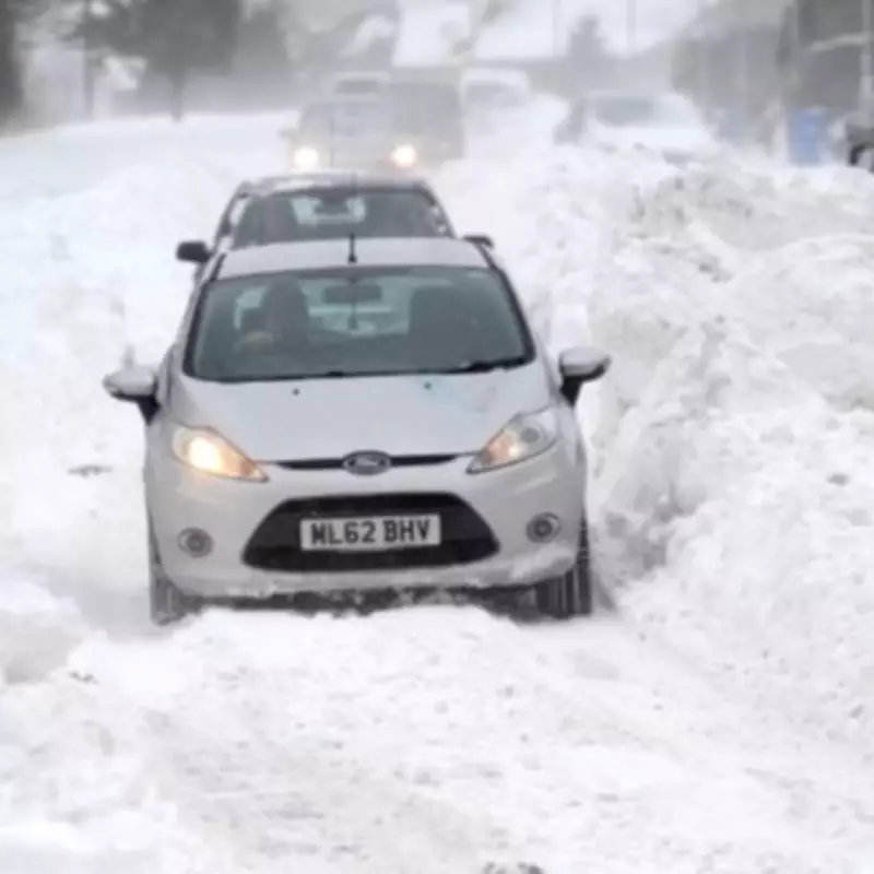
- Merseyside, Greater Manchester, Lancashire, West Yorkshire
- East Yorkshire, South Yorkshire, North Yorkshire, Cumbria, Durham, Northumberland
Comprehensive Scottish Coverage
The snowfall will not spare Scotland, with numerous areas set to be impacted. These include:
- Aberdeenshire, Angus, Argyll and Bute, City of Edinburgh, Clackmannanshire
- Dumfries and Galloway, Dundee City, East Ayrshire, East Dunbartonshire, East Lothian
- East Renfrewshire, Falkirk, Fife, Glasgow City, Highland, Inverclyde
- Midlothian, Moray, Na h-Eileanan Siar (Western Isles), North Ayrshire
- North Lanarkshire, Orkney Islands, Perth and Kinross, Renfrewshire
- Scottish Borders, Shetland Islands, South Ayrshire, South Lanarkshire, Stirling, West Dunbartonshire, West Lothian
Short-Term Weather Outlook
In the immediate term, the BBC Weather forecast for Friday, February 13, provides a glimpse into the conditions leading up to the major snow event. Today, England and Wales will experience breezy and wet weather, with a chance of snow over the hills, though it will turn drier from the north later in the day. Bright spells are expected elsewhere, but snow showers will persist in the far north and along North Sea coasts.
Tonight, cloud, patchy rain, and hill snow across the south will gradually clear. A few snow showers may linger in north England and northern coasts initially, but these will ease as skies clear overnight, leading to a cold night. Tomorrow promises to be a crisp and bright day, although some wintry showers could remain on North Sea and far northern coasts. Conditions will turn cloudier and breezier in the west later in the afternoon and evening, setting the stage for Sunday's significant snowfall.


