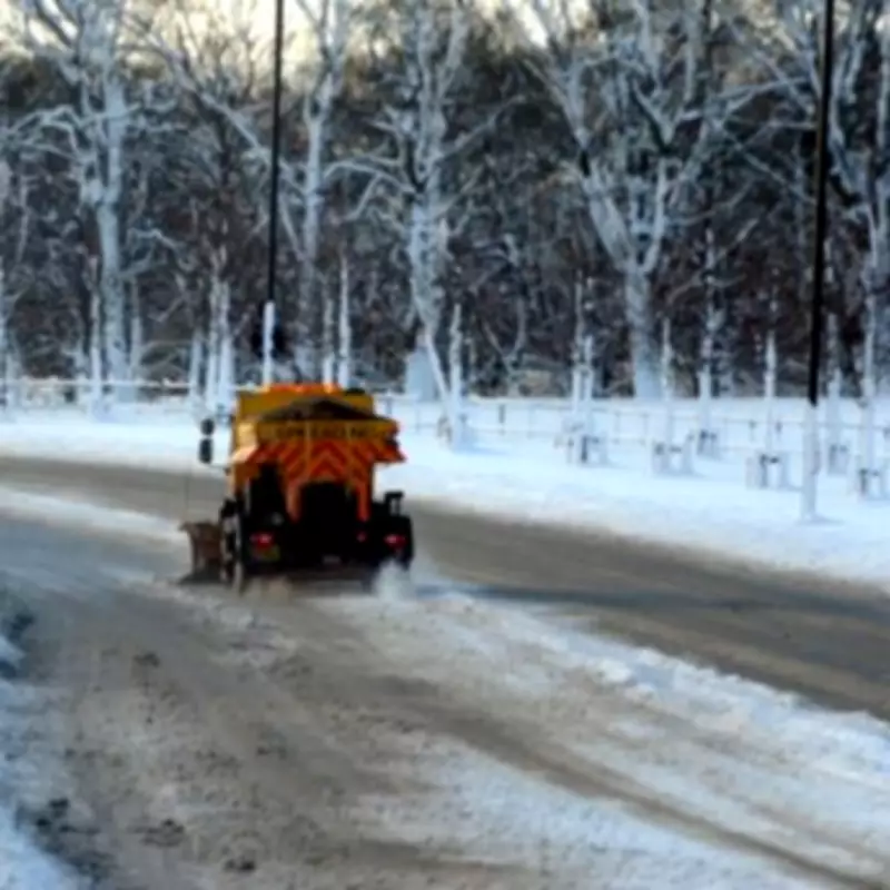
New meteorological data has pinpointed the exact timeframe for a substantial winter weather system set to impact the United Kingdom, with forecasters announcing the arrival of a prolonged snow event.
Four-Day Snow Event Timeline Confirmed
According to the latest analysis from WX Charts, which utilises Met Desk data and the GFS modelling system, a significant downturn in conditions is expected during the middle to latter part of February. The precise dates for this anticipated four-day snow bomb have now been confirmed.
The snowfall is currently forecast to commence across the country on Thursday, February 13. The wintry conditions are then projected to persist through Friday, February 14 and Saturday, February 15, before finally beginning to dissipate and conclude on Sunday, February 16.
Widespread Impact and Snow Depth Predictions
Maps from the forecasting service indicate that a broad swathe of the nation will be affected. Initial areas at risk include the North East of England, extensive parts of Scotland, the North West of England, and the Midlands.
As the event progresses, the snowfall is expected to extend further south, potentially covering Wales and southern England, including the Greater London area, before the system clears. Snow coverage projections suggest that by the evening of February 16, accumulations could be seen across all of Scotland, Northern Ireland, Wales, most of northern England, parts of the Midlands, and some southern locales.
The heaviest snowfall is predicted for regions north of the border. Forecast models indicate that Scotland could see accumulations of up to 72 centimetres, equivalent to 28 inches. Other areas, such as the North Pennines, may receive around 21 centimetres or eight inches of snow.
Existing Weather Warnings and Expert Commentary
The forecast comes alongside existing weather alerts for other parts of the country. Meteorologist Nick Finnis from Netweather TV highlighted a separate yellow rain warning in effect for parts of southern England, including Somerset, Dorset, Wiltshire, and Hampshire.
Finnis noted, "Persistent rain across southern England and Wales this morning will slowly move northwards. Cloudy but mostly dry ahead of this rain over northern England." He also referenced current yellow warnings for snow in northern and eastern Scotland, where 10 to 20 centimetres are possible due to cold air crossing the North Sea.
This system is expected to merge with rain and hill snow pushing up from the south over the coming day, contributing to the complex weather picture. Residents across the UK are advised to monitor official forecasts and travel updates as the potential for disruptive winter weather increases.


